File:Überlauf Edertalsperre vom Uhrenkopf.jpg

Size of this preview: 800 × 327 pixels. Other resolutions: 320 × 131 pixels | 640 × 262 pixels | 1,024 × 419 pixels | 1,280 × 523 pixels | 12,230 × 5,000 pixels.
Original file (12,230 × 5,000 pixels, file size: 28.67 MB, MIME type: image/jpeg)
| This is a file from the Wikimedia Commons. The description on its description page there is shown below.
|
Summary
| Description |
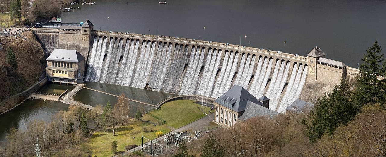
Deutsch: Blick von der Uhrenkopfkanzel auf die überlaufende Edertalsperre
English: View from the viewpoint Uhrenkopf to the overflowing Edersee Dam
|
||
| Date | |||
| Source | Own work | ||
| Author | Jörg Braukmann |
| Camera location | | View this and other nearby images on: OpenStreetMap |
|---|

|
This image was uploaded as part of Wiki Loves Monuments 2021.
|
Assessment
|
Licensing
I, the copyright holder of this work, hereby publish it under the following license:
This file is licensed under the Creative Commons Attribution-Share Alike 4.0 International license.
- You are free:
- to share – to copy, distribute and transmit the work
- to remix – to adapt the work
- Under the following conditions:
- attribution – You must give appropriate credit, provide a link to the license, and indicate if changes were made. You may do so in any reasonable manner, but not in any way that suggests the licensor endorses you or your use.
- share alike – If you remix, transform, or build upon the material, you must distribute your contributions under the same or compatible license as the original.
File history
Click on a date/time to view the file as it appeared at that time.
| Date/Time | Dimensions | User | Comment | |
|---|---|---|---|---|
| current | 11:54, 4 September 2021 | 12,230 × 5,000 (28.67 MB) | Milseburg | Mast |
File usage
The following page uses this file: