File:AZ 80 Tombstone.jpg
Size of this preview: 800 × 494 pixels. Other resolutions: 320 × 198 pixels | 640 × 395 pixels | 1,024 × 632 pixels | 1,280 × 791 pixels | 2,856 × 1,764 pixels.
Original file (2,856 × 1,764 pixels, file size: 2.08 MB, MIME type: image/jpeg)
| This is a file from the Wikimedia Commons. The description on its description page there is shown below.
|
Summary
| Description |
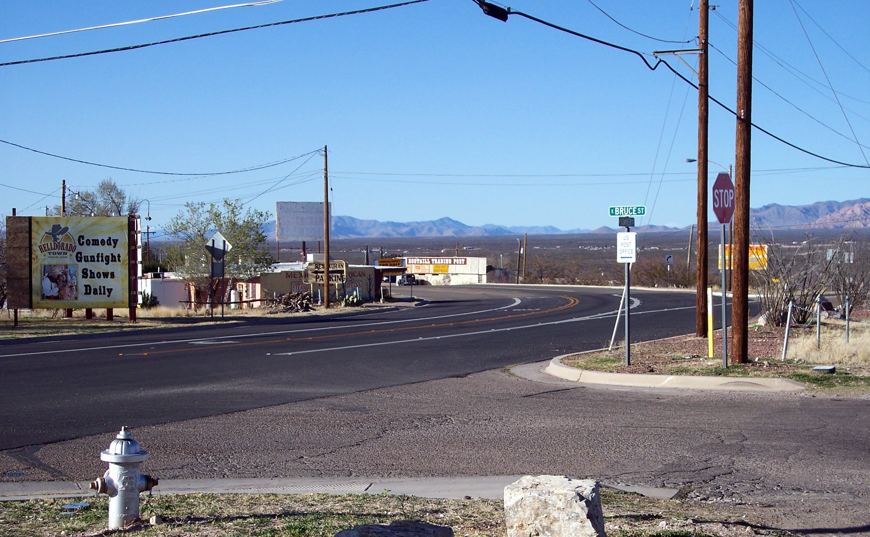
English: Arizona State Road 80 in Tombstone (as the Norther Sumner Street) at the intersection with East Bruce Street, seen towards south. |
| Date | |
| Source | Own work |
| Author | Adbar |
| Camera location | | View this and other nearby images on: OpenStreetMap |
|---|
Licensing
I, the copyright holder of this work, hereby publish it under the following license:
This file is licensed under the Creative Commons Attribution-Share Alike 3.0 Unported license.
- You are free:
- to share – to copy, distribute and transmit the work
- to remix – to adapt the work
- Under the following conditions:
- attribution – You must give appropriate credit, provide a link to the license, and indicate if changes were made. You may do so in any reasonable manner, but not in any way that suggests the licensor endorses you or your use.
- share alike – If you remix, transform, or build upon the material, you must distribute your contributions under the same or compatible license as the original.
File history
Click on a date/time to view the file as it appeared at that time.
| Date/Time | Dimensions | User | Comment | |
|---|---|---|---|---|
| current | 15:56, 19 January 2013 | 2,856 × 1,764 (2.08 MB) | Adbar | User created page with UploadWizard |
File usage
The following page uses this file: