File:Achaemenid Empire at its greatest extent according to Oxford Atlas of World History 2002.jpg

Size of this preview: 800 × 600 pixels. Other resolutions: 320 × 240 pixels | 640 × 480 pixels | 1,024 × 768 pixels | 1,280 × 960 pixels | 3,000 × 2,250 pixels.
Original file (3,000 × 2,250 pixels, file size: 1.71 MB, MIME type: image/jpeg)
| This is a file from the Wikimedia Commons. The description on its description page there is shown below.
|


Summary
| Description |
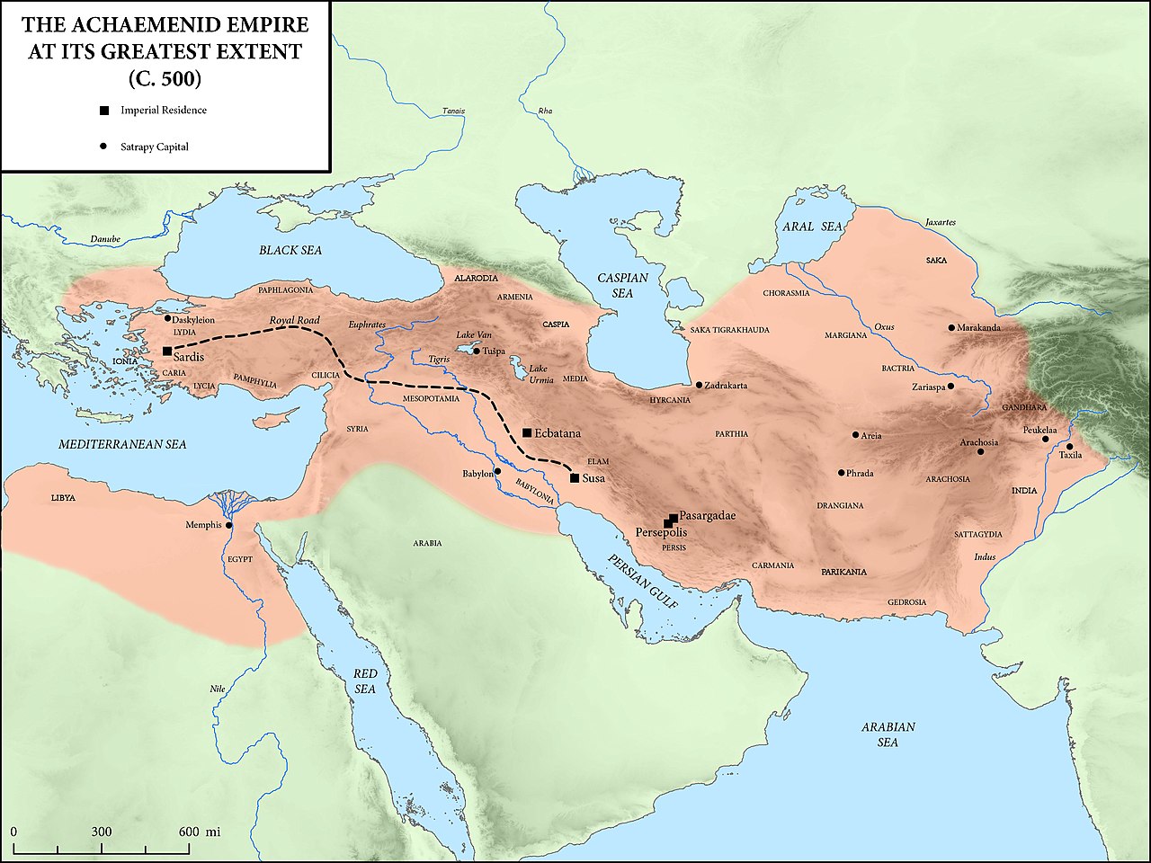
English: Achaemenid Empire at its greatest extent according to Oxford Atlas of World History 2002. Sources:
|
| Date | |
| Source |
This file was derived from: The Achaemenid Empire at its Greatest Extent.jpg |
| Author |
Original creator: Mossmaps |
Licensing
This file is licensed under the Creative Commons Attribution-Share Alike 4.0 International license.
- You are free:
- to share – to copy, distribute and transmit the work
- to remix – to adapt the work
- Under the following conditions:
- attribution – You must give appropriate credit, provide a link to the license, and indicate if changes were made. You may do so in any reasonable manner, but not in any way that suggests the licensor endorses you or your use.
- share alike – If you remix, transform, or build upon the material, you must distribute your contributions under the same or compatible license as the original.
File history
Click on a date/time to view the file as it appeared at that time.
| Date/Time | Dimensions | User | Comment | |
|---|---|---|---|---|
| current | 08:06, 12 August 2022 | 3,000 × 2,250 (1.71 MB) | Claude Zygiel | Coastlines of the 5th cen. BC: see please the discussion file. This is not an ancient map. |
File usage
The following 5 pages use this file: