File:Agassiz.jpg
Size of this preview: 785 × 600 pixels. Other resolutions: 314 × 240 pixels | 629 × 480 pixels | 1,006 × 768 pixels | 1,280 × 978 pixels | 2,832 × 2,163 pixels.
Original file (2,832 × 2,163 pixels, file size: 6.82 MB, MIME type: image/jpeg)
| This is a file from the Wikimedia Commons. The description on its description page there is shown below.
|
Copied from the English Wikipedia. Original comment below:
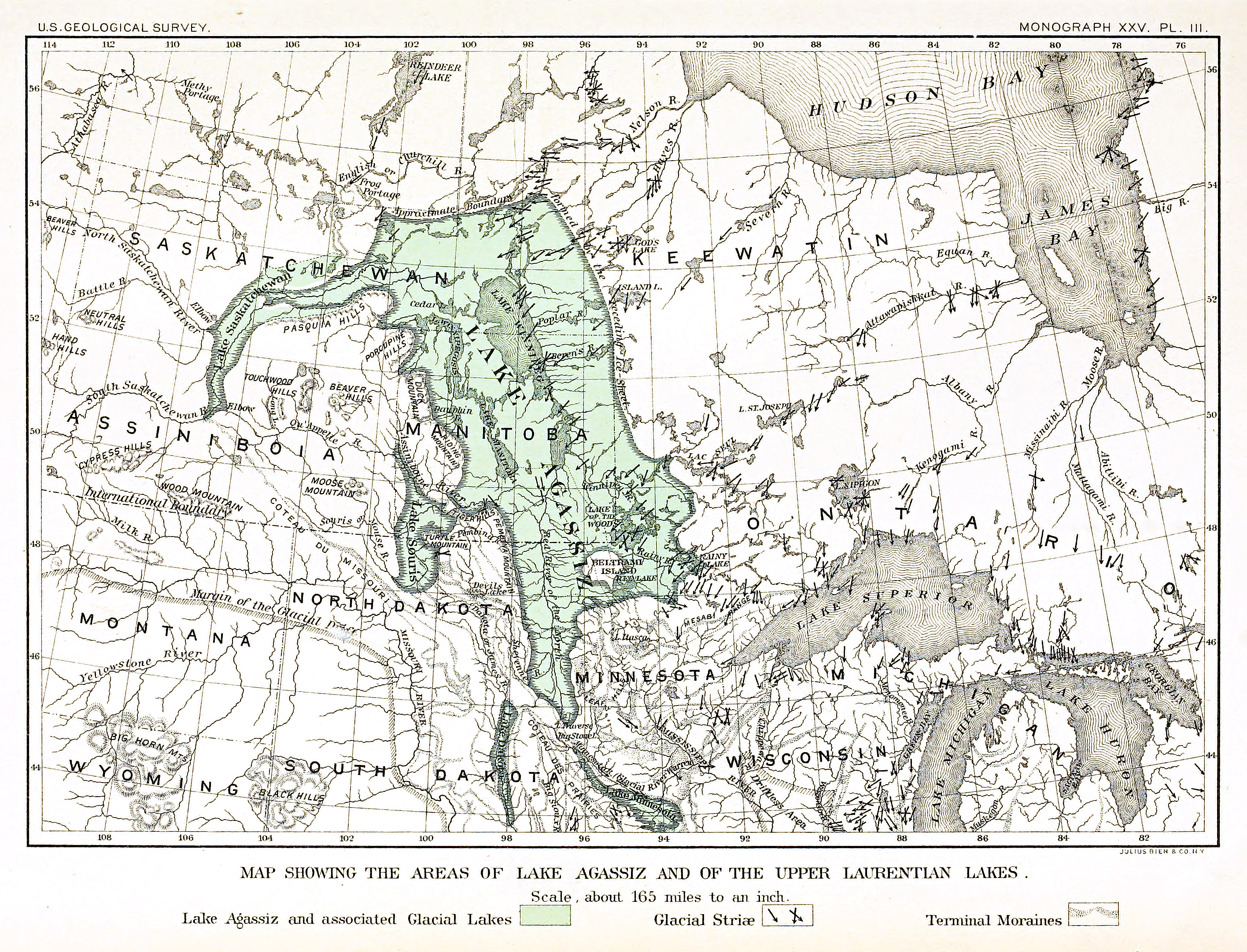
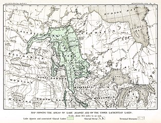
Map of the extent of glacial en:Lake Agassiz.
Bibliographical information: Upham, Warren. "The Glacial Lake Agassiz" archive copy at the Wayback Machine. Plate III. Monographs of the en:United States Geological Survey: Volume XXV. Washington Government Printing Office: Washington, 1895.
This image is in the public domain in the United States because it only contains materials that originally came from the United States Geological Survey, an agency of the United States Department of the Interior. For more information, see the official USGS copyright policy.
|
File history
Click on a date/time to view the file as it appeared at that time.
| Date/Time | Dimensions | User | Comment | |
|---|---|---|---|---|
| current | 16:17, 13 August 2015 | 2,832 × 2,163 (6.82 MB) | Themadchopper | larger etc. |
File usage
The following 2 pages use this file: