File:Ammadelle, 637 North Lamar Boulevard, Oxford (Lafayette County, Mississippi).jpg

Size of this preview: 800 × 563 pixels. Other resolutions: 320 × 225 pixels | 640 × 450 pixels | 947 × 666 pixels.
Original file (947 × 666 pixels, file size: 250 KB, MIME type: image/jpeg)
| This is a file from the Wikimedia Commons. The description on its description page there is shown below.
|
.jpg)
|
This is an image of a place or building that is listed on the National Register of Historic Places in the United States of America. Its reference number is 74001064. |
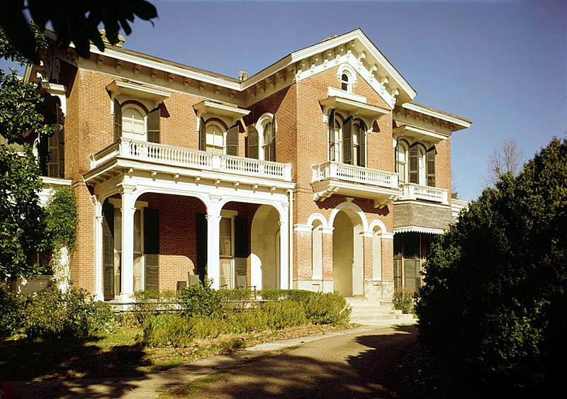
| Description | Ammadelle, 637 North Lamar Boulevard, Oxford (Lafayette County, Mississippi) (cropped) |
| Date | |
| Source | http://memory.loc.gov/cgi-bin/displayPhoto.pl?path=/pnp/habshaer/ms/ms0200/ms0262/color&topImages=571622cr.jpg&topLinks=571622cv.jpg,571622cu.tif&title=9.%20%20East%20front%20from%20southeast%20(closer)%3cbr%3ems9&displayProfile=01&displayProfile=0 |
| Author | Jack Boucher, Photographer |
| Permission (Reusing this file) |
Historic American Buildings Survey ms9 |
%3cbr%3ems9&displayProfile=01&displayProfile=0)
| Object location | | View this and other nearby images on: OpenStreetMap |
|---|
.jpg¶ms=034.372222_N_-089.519722_E_globe:Earth_class:object_region:US_type:landmark_scale:1500_&language=en)

|
This file comes from the Historic American Buildings Survey (HABS), Historic American Engineering Record (HAER) or Historic American Landscapes Survey (HALS). These are programs of the National Park Service established for the purpose of documenting historic places. Records consist of measured drawings, archival photographs, and written reports.
This tag does not indicate the copyright status of the attached work. A normal copyright tag is still required. See Commons:Licensing. |
| This image or media file contains material based on a work of a National Park Service employee, created as part of that person's official duties. As a work of the U.S. federal government, such work is in the public domain in the United States. See the NPS website and NPS copyright policy for more information. |
File history
Click on a date/time to view the file as it appeared at that time.
| Date/Time | Dimensions | User | Comment | |
|---|---|---|---|---|
| current | 11:10, 17 October 2012 | 947 × 666 (250 KB) | Hohum | Levels |
File usage
The following page uses this file:
.jpg)