File:Australia Locator Map.svg

Size of this PNG preview of this SVG file: 290 × 262 pixels. Other resolutions: 266 × 240 pixels | 531 × 480 pixels | 664 × 600 pixels | 850 × 768 pixels | 1,133 × 1,024 pixels.
Original file (SVG file, nominally 290 × 262 pixels, file size: 67 KB)
| This is a file from the Wikimedia Commons. The description on its description page there is shown below.
|
Summary
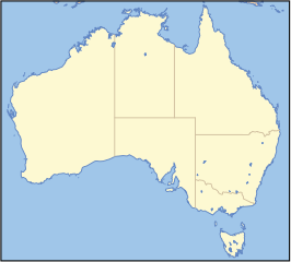
This map image was created by Wikipedia user Papayoung, based on the public-domain data available through the Map-It archive copy at the Wayback Machine interface.
Please note: This image is intended for use as a base map for a locator image; if you change or replace it in a way that moves its geographic features, images superimposed on it at specific locations will no longer be accurate. Please be careful. Thank you.
To use this image with a locator dot, see
locator map 250px wide
Use this code to make a locator map at 250px wide. See w:Image:Australia grid2.png for a reference map to use as a guide for the x and y values
{| align=right
|-
||
{{Superimpose| base = Australia_Locator_Blank.svg
  | base_width = 250px
  | base_caption = Australia
  | float = Locator_D. zoibird
  | float_width = 4
  | float_caption = Add caption here
  | x =
  | y =
}}
Add caption here
|}
Licensing
| This file is licensed under the Creative Commons Attribution-Share Alike 3.0 Unported license. Subject to disclaimers. | ||
| ||
| This licensing tag was added to this file as part of the GFDL licensing update. |

|
Permission is granted to copy, distribute and/or modify this document under the terms of the GNU Free Documentation License, Version 1.2 or any later version published by the Free Software Foundation; with no Invariant Sections, no Front-Cover Texts, and no Back-Cover Texts. A copy of the license is included in the section entitled GNU Free Documentation License. Subject to disclaimers. |
(Delete all revisions of this file) (cur) 06:09, 31 October 2005 . . Papayoung (Talk) . . 290x262 (68813 bytes) (This map image was created by Wikipedia user Papayoung, based on the public-domain data available through the Map-It interface (http://stellwagen.er.usgs.gov/mapit/ archive copy at the Wayback Machine).)
derivative works
Derivative works of this file:
File history
Click on a date/time to view the file as it appeared at that time.
| Date/Time | Dimensions | User | Comment | |
|---|---|---|---|---|
| current | 14:42, 19 December 2005 | 290 × 262 (67 KB) | Boticario | == Summary == This map image was created by Wikipedia user Papayoung, based on the public-domain data available through the [http://stellwagen.er.usgs.gov/mapit/ Map-It] interface. <div style="border: 1px solid #F66; padding: 1em |
File usage
The following 4 pages use this file: