File:Barun Valley - Nghe.jpg

Size of this preview: 631 × 600 pixels. Other resolutions: 253 × 240 pixels | 505 × 480 pixels | 808 × 768 pixels | 1,077 × 1,024 pixels | 1,980 × 1,882 pixels.
Original file (1,980 × 1,882 pixels, file size: 2.01 MB, MIME type: image/jpeg)
| This is a file from the Wikimedia Commons. The description on its description page there is shown below.
|
Summary
| Description |
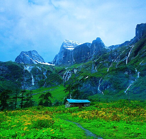
English: Place called Nghe along the Barun Valley. Nghe in local Sherpa language means a 'Sacred Place'. |
| Date | |
| Source | Own work |
| Author | Dhilung |
| Other versions | https://www.flickr.com/photos/dhilung/3904555723/ |
| Camera location | | View this and other nearby images on: OpenStreetMap |
|---|
Licensing
I, the copyright holder of this work, hereby publish it under the following license:
This file is licensed under the Creative Commons Attribution 3.0 Unported license.
- You are free:
- to share – to copy, distribute and transmit the work
- to remix – to adapt the work
- Under the following conditions:
- attribution – You must give appropriate credit, provide a link to the license, and indicate if changes were made. You may do so in any reasonable manner, but not in any way that suggests the licensor endorses you or your use.
File history
Click on a date/time to view the file as it appeared at that time.
| Date/Time | Dimensions | User | Comment | |
|---|---|---|---|---|
| current | 23:06, 28 July 2018 | 1,980 × 1,882 (2.01 MB) | WikiPedant | Reverted to version as of 18:56, 14 December 2009 (UTC). My previous version had splotchiness in the clouds. I may try again to correct saturation, later. |
File usage
The following 2 pages use this file: