File:British Isles map showing UK, Republic of Ireland, and historic counties.svg

Size of this PNG preview of this SVG file: 408 × 599 pixels. Other resolutions: 163 × 240 pixels | 327 × 480 pixels | 409 × 600 pixels | 523 × 768 pixels | 697 × 1,024 pixels | 1,250 × 1,835 pixels.
Original file (SVG file, nominally 1,250 × 1,835 pixels, file size: 1,003 KB)
| This is a file from the Wikimedia Commons. The description on its description page there is shown below.
|
Summary
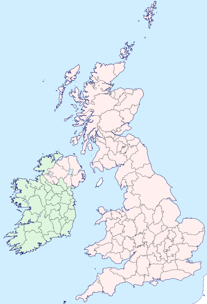
| Description | Map of the British Isles with counties |
| Date | |
| Source | |
| Author | Visitor from Wikishire |
| Permission (Reusing this file) |
This file is licensed under the Creative Commons Attribution-Share Alike 4.0 International license. Attribution: Wikishire
|
| SVG development |
File history
Click on a date/time to view the file as it appeared at that time.
| Date/Time | Dimensions | User | Comment | |
|---|---|---|---|---|
| current | 12:35, 13 September 2019 | 1,250 × 1,835 (1,003 KB) | Visitor from Wikishire | Conformed colours to Hogweard's improvements |
File usage
There are no pages that use this file.