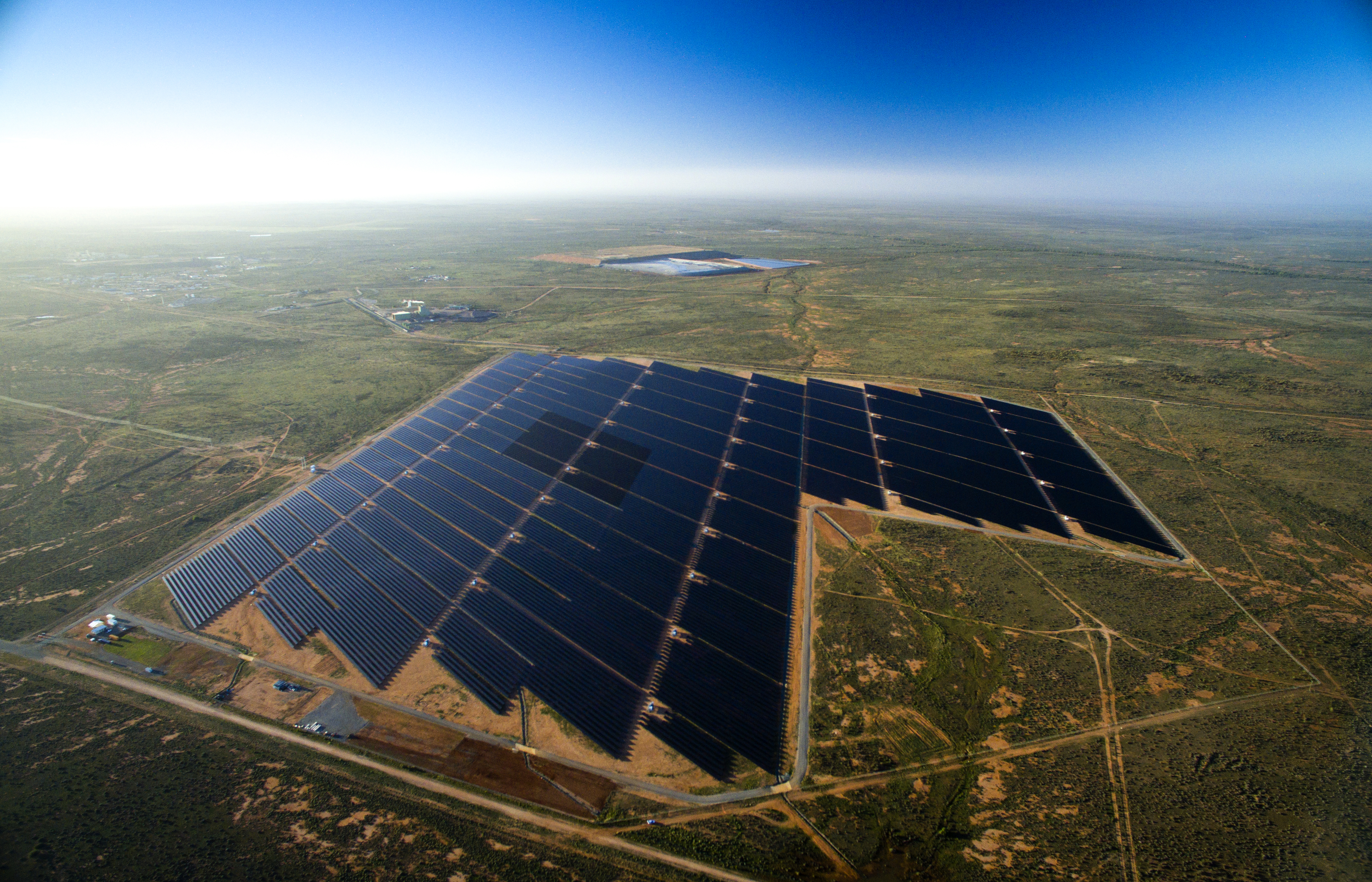
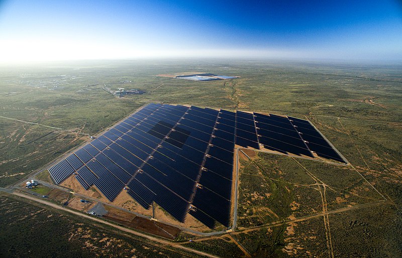
File:Broken Hill solar plant aerial.jpg
Size of this preview: 800 × 514 pixels. Other resolutions: 320 × 206 pixels | 640 × 411 pixels | 1,024 × 658 pixels | 1,280 × 823 pixels | 3,980 × 2,559 pixels.
Original file (3,980 × 2,559 pixels, file size: 8.44 MB, MIME type: image/jpeg)
| This is a file from the Wikimedia Commons. The description on its description page there is shown below.
|
Summary
| Description |
English: Broken Hill solar plant aerial |
| Date | |
| Source | https://www.flickr.com/photos/62459458@N08/26733526184/ |
| Author | Jeremy Buckingham |
| Camera location | | View this and other nearby images on: OpenStreetMap |
|---|
Licensing
This file is licensed under the Creative Commons Attribution 2.0 Generic license.
- You are free:
- to share – to copy, distribute and transmit the work
- to remix – to adapt the work
- Under the following conditions:
- attribution – You must give appropriate credit, provide a link to the license, and indicate if changes were made. You may do so in any reasonable manner, but not in any way that suggests the licensor endorses you or your use.
| This image was originally posted to Flickr by Jeremy Buckingham MLC at https://flickr.com/photos/62459458@N08/26733526184 (archive). It was reviewed on 3 December 2017 by FlickreviewR 2 and was confirmed to be licensed under the terms of the cc-by-2.0. |
File history
Click on a date/time to view the file as it appeared at that time.
| Date/Time | Dimensions | User | Comment | |
|---|---|---|---|---|
| current | 02:34, 23 August 2016 | 3,980 × 2,559 (8.44 MB) | Ashton 29 | User created page with UploadWizard |
File usage
The following page uses this file: