File:Confluence of Erdre and Loire, Nantes, France, 1890s.jpg

Size of this preview: 800 × 594 pixels. Other resolutions: 320 × 238 pixels | 640 × 476 pixels | 1,024 × 761 pixels | 1,280 × 951 pixels | 3,486 × 2,590 pixels.
Original file (3,486 × 2,590 pixels, file size: 2.94 MB, MIME type: image/jpeg)
| This is a file from the Wikimedia Commons. The description on its description page there is shown below.
|
Summary
| Description |
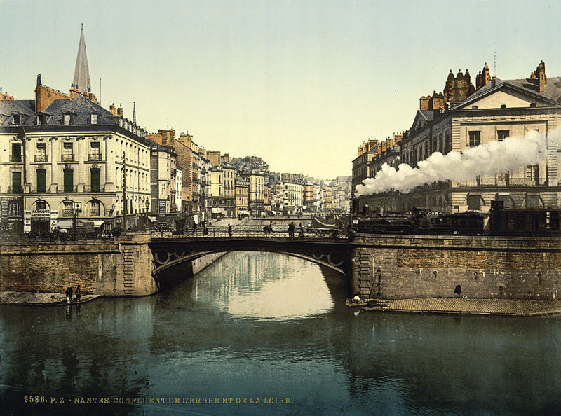
English: Confluence of Erdre and Loire rivers in Nantes, France
Français : Confluent de l'Erdre et de la Loire, Nantes |
||
| Date | between 1890 and 1900 | ||
| Source |
|
||
| Author | Detroit Publishing Co., under license from Photoglob Zürich |

| Camera location | | View this and other nearby images on: OpenStreetMap |
|---|
Licensing
This work is in the public domain in the United States because it was published (or registered with the U.S. Copyright Office) before January 1, 1929.
Public domain works must be out of copyright in both the United States and in the source country of the work in order to be hosted on the Commons. If the work is not a U.S. work, the file must have an additional copyright tag indicating the copyright status in the source country.
Note: This tag should not be used for sound recordings. |
File history
Click on a date/time to view the file as it appeared at that time.
| Date/Time | Dimensions | User | Comment | |
|---|---|---|---|---|
| current | 14:00, 12 August 2010 | 3,486 × 2,590 (2.94 MB) | BotMultichillT | <br /> <b>Warning</b>: Invalid argument supplied for foreach() in <b>/home/www/kunden/ramselehof.de/wikipedia/flinfo/FlinfoWiki.php</b> on line <b>464</b><br /> <br /> <b>Warning</b>: Cannot modify header information - headers already sent by (output st |
File usage
The following page uses this file: