File:Cordova Alaska aerial view.jpg
Size of this preview: 635 × 600 pixels. Other resolutions: 254 × 240 pixels | 508 × 480 pixels | 813 × 768 pixels | 1,084 × 1,024 pixels | 1,500 × 1,417 pixels.
Original file (1,500 × 1,417 pixels, file size: 821 KB, MIME type: image/jpeg)
| This is a file from the Wikimedia Commons. The description on its description page there is shown below.
|
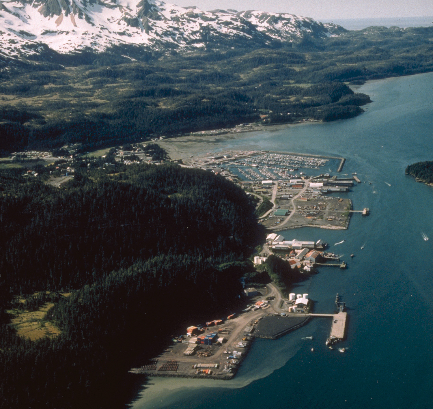
| Description | Aerial view of Cordova, Alaska. | |||
| Location | Cordova, Alaska, USA 60°32′58.64″N 145°45′50.34″W / 60.5496222°N 145.7639833°W |
|||
| Date | not specified or unknown | |||
| Source |
U.S. Army Corps of Engineers Digital Visual Library Image page Image description page Digital Visual Library home page |
|||
| Author | U.S. Army Corps of Engineers, photographer not specified or unknown | |||
| Permission (Reusing this file) |
|
File history
Click on a date/time to view the file as it appeared at that time.
| Date/Time | Dimensions | User | Comment | |
|---|---|---|---|---|
| current | 18:28, 19 March 2007 | 1,500 × 1,417 (821 KB) | DanMS | Whoops! Uploaded wrong picture last time. |
File usage
The following page uses this file: