File:Dortmund Bezirke und Nachbargemeinden.png

Size of this preview: 705 × 600 pixels. Other resolutions: 282 × 240 pixels | 564 × 480 pixels | 903 × 768 pixels | 1,200 × 1,021 pixels.
Original file (1,200 × 1,021 pixels, file size: 326 KB, MIME type: image/png)
| This is a file from the Wikimedia Commons. The description on its description page there is shown below.
|
Summary
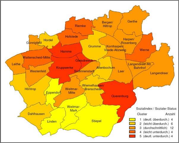
| Description | Bezirke in Dortmund, sowie Nachbargemeinden, Kreise und kreisfreie Städte |
| Date | |
| Source |
own work, used: |
| Author | Lencer |

|
This map has been made or improved in the German Kartenwerkstatt (Map Lab). You can propose maps to improve as well.
|
Licensing
I, the copyright holder of this work, hereby publish it under the following license:
This file is licensed under the Creative Commons Attribution-Share Alike 3.0 Unported license.
- You are free:
- to share – to copy, distribute and transmit the work
- to remix – to adapt the work
- Under the following conditions:
- attribution – You must give appropriate credit, provide a link to the license, and indicate if changes were made. You may do so in any reasonable manner, but not in any way that suggests the licensor endorses you or your use.
- share alike – If you remix, transform, or build upon the material, you must distribute your contributions under the same or compatible license as the original.
File history
Click on a date/time to view the file as it appeared at that time.
| Date/Time | Dimensions | User | Comment | |
|---|---|---|---|---|
| current | 04:06, 20 January 2010 | 1,200 × 1,021 (326 KB) | Lencer | Fröndenberg => Fröndenberg/Ruhr |
File usage
The following page uses this file: