File:Downtown Florence Historic District 2012-09-29 16-50-03.jpg
Original file (3,264 × 2,448 pixels, file size: 2.51 MB, MIME type: image/jpeg)
This is a file from the Wikimedia Commons. The description on its description page there is shown below.
|
Summary
DescriptionDowntown Florence Historic District 2012-09-29 16-50-03.jpg |
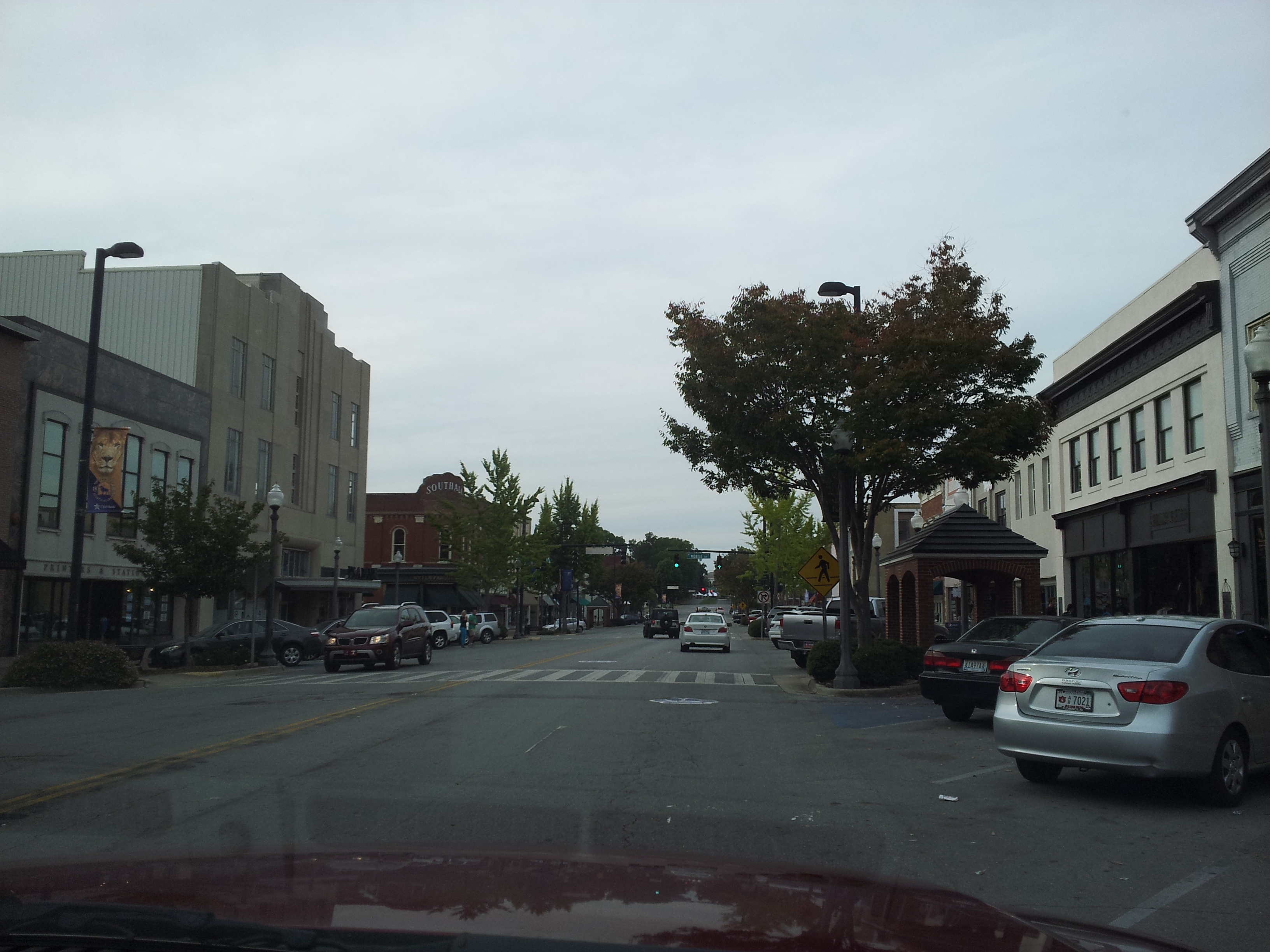
English: Downtown Florence Historic District
|
||
Date | |||
Source |
Own work
|
||
Author | themidnite | ||
Permission (Reusing this file) |
I, the copyright holder of this work, hereby publish it under the following license: This file is licensed under the Creative Commons Attribution-Share Alike 3.0 Unported license.
|
Camera location | 34° 48′ 00.14″ N, 87° 40′ 32.32″ W | View this and other nearby images on: OpenStreetMap | 34.800038; -87.675645 |
---|
Upload more photos of this monument
This image was uploaded as part of Wiki Loves Monuments 2012.
Afrikaans ∙ Alemannisch ∙ azərbaycanca ∙ Bahasa Indonesia ∙ Bahasa Melayu ∙ Bikol Central ∙ bosanski ∙ brezhoneg ∙ català ∙ čeština ∙ Cymraeg ∙ dansk ∙ davvisámegiella ∙ Deutsch ∙ eesti ∙ English ∙ español ∙ Esperanto ∙ euskara ∙ français ∙ Frysk ∙ Gaeilge ∙ galego ∙ hrvatski ∙ Ido ∙ italiano ∙ latviešu ∙ Lëtzebuergesch ∙ Malagasy ∙ magyar ∙ Malti ∙ Nederlands ∙ norsk ∙ norsk nynorsk ∙ norsk bokmål ∙ polski ∙ português ∙ português do Brasil ∙ română ∙ shqip ∙ sicilianu ∙ slovenčina ∙ slovenščina ∙ suomi ∙ svenska ∙ Tagalog ∙ Türkçe ∙ Yorùbá ∙ Zazaki ∙ Ελληνικά ∙ беларуская ∙ беларуская (тарашкевіца) ∙ български ∙ кыргызча ∙ македонски ∙ русский ∙ српски / srpski ∙ українська ∙ ქართული ∙ հայերեն ∙ नेपाली ∙ हिन्दी ∙ বাংলা ∙ മലയാളം ∙ ไทย ∙ 한국어 ∙ +/− |
Items portrayed in this file
depicts
30 September 2012
0.0015873015873015873 second
2.65
4.03 millimetre
image/jpeg
6853c60c0488e5fc76967d6fe3827578575c47bd
2,636,118 byte
2,448 pixel
3,264 pixel
34°48'0.137"N, 87°40'32.322"W
File history
Click on a date/time to view the file as it appeared at that time.
Date/Time | Dimensions | User | Comment | |
---|---|---|---|---|
current | 18:13, 29 September 2012 | 3,264 × 2,448 (2.51 MB) | Themidnite | Magically uploaded via the Wiki Loves Monuments Mobile App Version 1.2.5. |
File usage
There are no pages that use this file.
Metadata
This file contains additional information, probably added from the digital camera or scanner used to create or digitize it.
If the file has been modified from its original state, some details may not fully reflect the modified file.
Camera manufacturer | SAMSUNG |
---|---|
Camera model | SGH-T989 |
Exposure time | 1/630 sec (0.0015873015873016) |
F Number | f/2.65 |
ISO speed rating | 32 |
Date and time of data generation | 16:49, 29 September 2012 |
Lens focal length | 4.03 mm |
Latitude | 34° 48′ 0.14″ N |
Longitude | 87° 40′ 32.32″ W |
Altitude | 0 meters above sea level |
Width | 3,264 px |
Height | 2,448 px |
Orientation | Normal |
Horizontal resolution | 72 dpi |
Vertical resolution | 72 dpi |
Software used | T989UVLE1 |
File change date and time | 16:49, 29 September 2012 |
Y and C positioning | Centered |
Exposure Program | Aperture priority |
Exif version | 2.2 |
Date and time of digitizing | 16:49, 29 September 2012 |
APEX shutter speed | 9.3 |
APEX aperture | 2.81 |
APEX brightness | 8.71 |
APEX exposure bias | 0 |
Maximum land aperture | 2.81 APEX (f/2.65) |
Metering mode | Center weighted average |
Flash | Flash did not fire, auto mode |
Supported Flashpix version | 1 |
Color space | sRGB |
Exposure mode | Auto exposure |
White balance | Auto white balance |
Scene capture type | Standard |
Unique image ID | SEEH05 |
GPS time (atomic clock) | 21:49 |
GPS date | 29 September 2012 |
GPS tag version | 0.0.2.2 |