File:Eggegebirge.jpg

Size of this preview: 800 × 600 pixels. Other resolutions: 320 × 240 pixels | 640 × 480 pixels | 1,024 × 768 pixels | 1,280 × 960 pixels | 3,699 × 2,774 pixels.
Original file (3,699 × 2,774 pixels, file size: 3.21 MB, MIME type: image/jpeg)
| This is a file from the Wikimedia Commons. The description on its description page there is shown below.
|
| Camera location | | View this and other nearby images on: OpenStreetMap |
|---|
Summary
| Description |
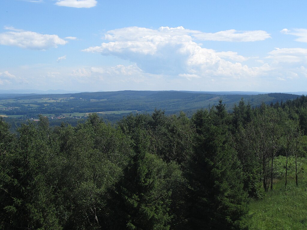
Deutsch: Blick vom Eggeturm auf der Preuß. Velmerstot nach Süden über den Kamm des Eggegebirges. Links im Hintergrund der Habichtswald bei Kassel.
English: View from the Eggeturm on Prussia. Velmerstot to the south over the ridge of the Egge Mountains. On the left in the background the hawk forest near Kassel. |
| Date | |
| Source | Own work |
| Author | Jörg Braukmann |
Licensing
I, the copyright holder of this work, hereby publish it under the following license:
This file is licensed under the Creative Commons Attribution-Share Alike 3.0 Unported license.
- You are free:
- to share – to copy, distribute and transmit the work
- to remix – to adapt the work
- Under the following conditions:
- attribution – You must give appropriate credit, provide a link to the license, and indicate if changes were made. You may do so in any reasonable manner, but not in any way that suggests the licensor endorses you or your use.
- share alike – If you remix, transform, or build upon the material, you must distribute your contributions under the same or compatible license as the original.
File history
Click on a date/time to view the file as it appeared at that time.
| Date/Time | Dimensions | User | Comment | |
|---|---|---|---|---|
| current | 03:55, 7 August 2012 | 3,699 × 2,774 (3.21 MB) | Milseburg | aktualisiert, höhere Auflösung, weniger Himmel |
File usage
The following page uses this file: