File:Extratropical formation areas.jpg
Size of this preview: 800 × 400 pixels. Other resolutions: 320 × 160 pixels | 640 × 320 pixels | 1,024 × 512 pixels | 1,999 × 1,000 pixels.
Original file (1,999 × 1,000 pixels, file size: 525 KB, MIME type: image/jpeg)
| This is a file from the Wikimedia Commons. The description on its description page there is shown below.
|
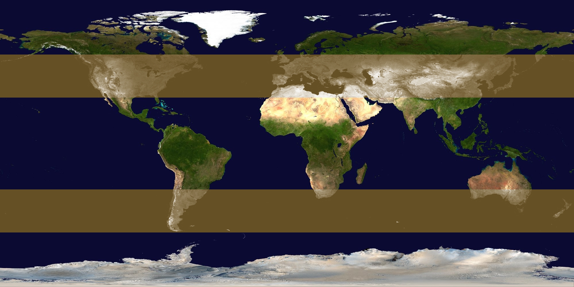
| Description | Image identifying extratropical cyclone formation areas, between approximately 30° and 60° N/S latitude. | ||
| Date | |||
| Source | background: Image:Whole world - land and oceans 12000.jpg, edit by me | ||
| Author | Titoxd | ||
| Permission (Reusing this file) |
|
File history
Click on a date/time to view the file as it appeared at that time.
| Date/Time | Dimensions | User | Comment | |
|---|---|---|---|---|
| current | 10:25, 23 October 2006 | 1,999 × 1,000 (525 KB) | Titoxd | {{information | description = Image identifying w:extratropical cyclone formation areas, between approximately 30° and 60° N/S w:latitude. | source = background: Image:Whole world - land and oceans 12000.jpg, edit by me | date = 2006-10 |
File usage
The following page uses this file: