File:Fuller projection with largest countries.svg

Original file(SVG file, nominally 512 × 341 pixels, file size: 203 KB)

Render this image in .
Commons-logo.svg This is a file from the Wikimedia Commons. The description on its description page there is shown below.
Commons is a freely licensed media file repository. You can help.

Summary

Description
English: Dymaxion map of the world by visionscarto on http://visionscarto.net/public/fonds-de-cartes-en/visionscarto-airocean.svg with the 30 largest countries according to http://en.wikipedia.org/wiki/List_of_countries_and_dependencies_by_area#Graphical_charts roughly to scale highlighted by CMG Lee.
Date
Source
Visionscarto-airocean.svg
Author cmglee, Philippe Rivière
Other versions
Fuller projection with largest countries CIA.svg
Fuller projection with largest islands.svg
Fuller projection with largest lakes by area.svg

Licensing

w:en:Creative Commons
attribution share alike
This file is licensed under the Creative Commons Attribution-Share Alike 4.0 International license.
You are free:
  • to share – to copy, distribute and transmit the work
  • to remix – to adapt the work
Under the following conditions:
  • attribution – You must give appropriate credit, provide a link to the license, and indicate if changes were made. You may do so in any reasonable manner, but not in any way that suggests the licensor endorses you or your use.
  • share alike – If you remix, transform, or build upon the material, you must distribute your contributions under the same or compatible license as the original.
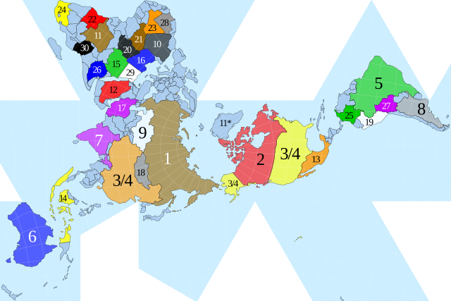
Captions

Maps

Items portrayed in this file

depicts

image/svg+xml

File history

Click on a date/time to view the file as it appeared at that time.

Date/TimeDimensionsUserComment
current21:00, 5 November 2021512 × 341 (203 KB)Md. Golam Mukit KhanFile uploaded using svgtranslate tool (https://svgtranslate.toolforge.org/). Added translation for bn.

The following page uses this file:

Metadata