File:Ghurids1200.png
Size of this preview: 800 × 467 pixels. Other resolutions: 320 × 187 pixels | 640 × 373 pixels | 1,024 × 597 pixels | 1,644 × 959 pixels.
Original file (1,644 × 959 pixels, file size: 28 KB, MIME type: image/png)
| This is a file from the Wikimedia Commons. The description on its description page there is shown below.
|
Summary
| Description |
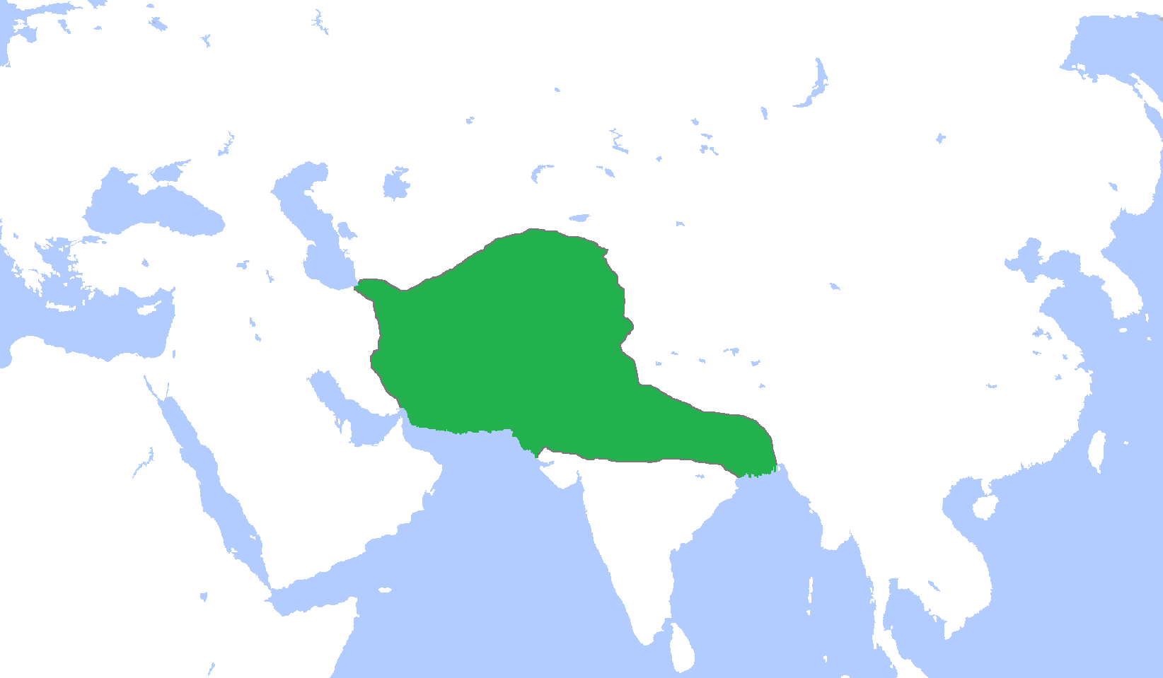
English: Locator map of the Ghurid Empire, c. 1200.
(Partially based on Atlas of World History (2007) - The World 1000-1200, map) |
| Date | |
| Source | Own work |
| Author | Gabagool |
Licensing
I, the copyright holder of this work, hereby publish it under the following license:
This file is licensed under the Creative Commons Attribution 3.0 Unported license.
- You are free:
- to share – to copy, distribute and transmit the work
- to remix – to adapt the work
- Under the following conditions:
- attribution – You must give appropriate credit, provide a link to the license, and indicate if changes were made. You may do so in any reasonable manner, but not in any way that suggests the licensor endorses you or your use.
File history
Click on a date/time to view the file as it appeared at that time.
| Date/Time | Dimensions | User | Comment | |
|---|---|---|---|---|
| current | 09:06, 9 January 2014 | 1,644 × 959 (28 KB) | HistoryofIran | Added the domains of the Bamiyan branch. |
File usage
The following 2 pages use this file: