File:Gilded Vectors of Disease - Horizontal.jpg
Size of this preview: 800 × 400 pixels. Other resolutions: 320 × 160 pixels | 640 × 320 pixels | 1,024 × 512 pixels | 1,280 × 640 pixels | 6,000 × 3,000 pixels.
Original file (6,000 × 3,000 pixels, file size: 10.12 MB, MIME type: image/jpeg)
| This is a file from the Wikimedia Commons. The description on its description page there is shown below.
|
Summary
| Description |
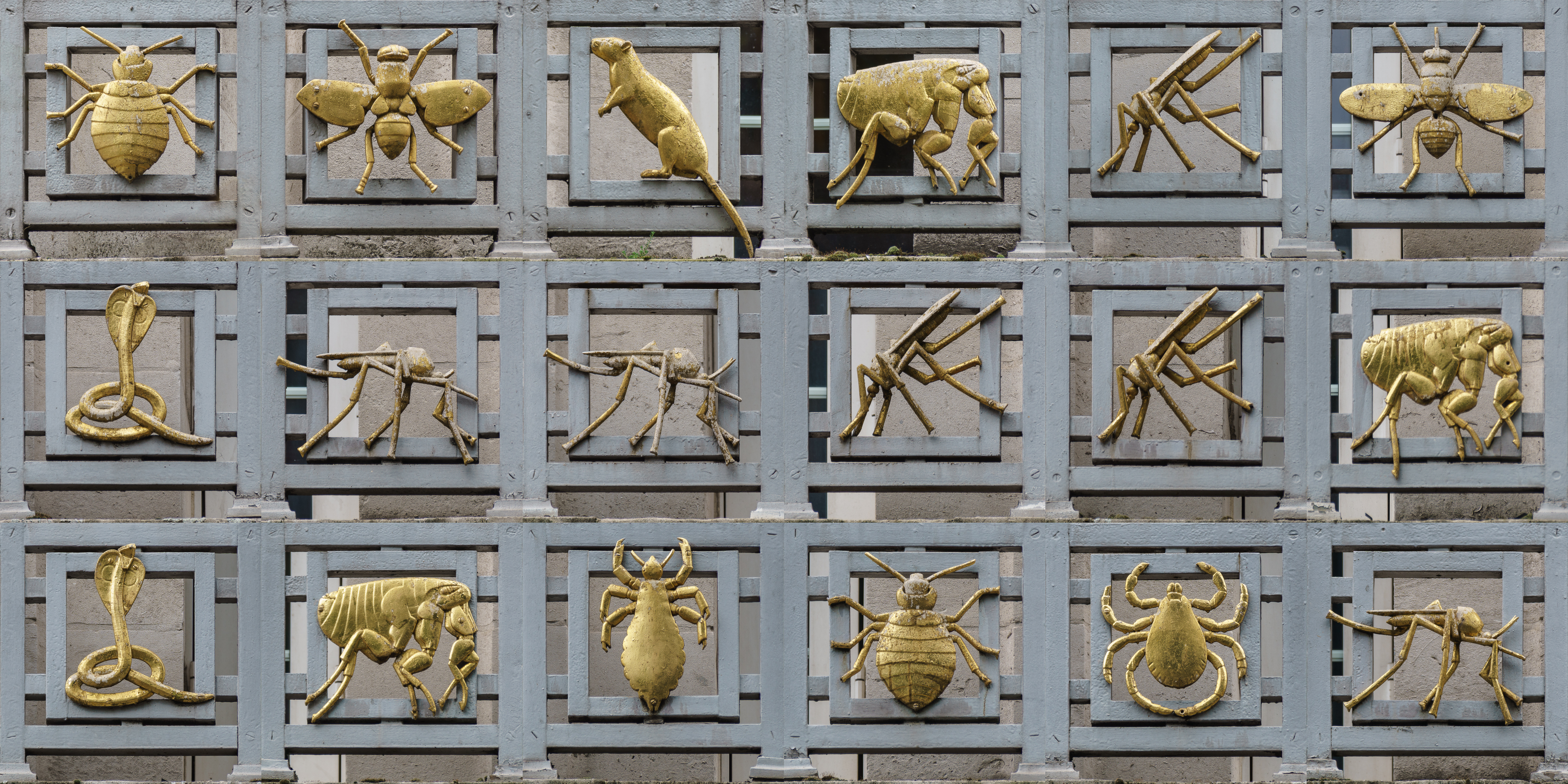
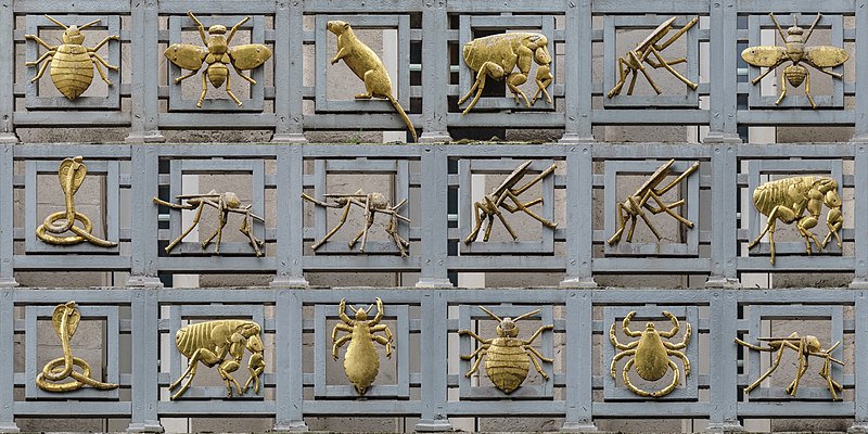
English: The "Gilded Vectors of Disease" that adorne the facade of the London School of Hygiene & Tropical Medicine. |
| Date | |
| Source | Own work |
| Author | Colin |
| Other versions |
 |
| Attribution (required by the license) | © User:Colin / Wikimedia Commons / |


| Camera location | | View this and other nearby images on: OpenStreetMap |
|---|
|
Licensing
This file is licensed under the Creative Commons Attribution-Share Alike 4.0 International license.
- You are free:
- to share – to copy, distribute and transmit the work
- to remix – to adapt the work
- Under the following conditions:
- attribution – You must give appropriate credit, provide a link to the license, and indicate if changes were made. You may do so in any reasonable manner, but not in any way that suggests the licensor endorses you or your use.
- share alike – If you remix, transform, or build upon the material, you must distribute your contributions under the same or compatible license as the original.
File history
Click on a date/time to view the file as it appeared at that time.
| Date/Time | Dimensions | User | Comment | |
|---|---|---|---|---|
| current | 10:57, 3 December 2017 | 6,000 × 3,000 (10.12 MB) | Colin | Sharpen (LrMediaWiki 0.8.0, LR 7.0 Win) |
File usage
The following page uses this file: