File:Greater Manchester Railways map.svg

Size of this PNG preview of this SVG file: 800 × 578 pixels. Other resolutions: 320 × 231 pixels | 640 × 462 pixels | 1,024 × 740 pixels | 1,280 × 925 pixels | 926 × 669 pixels.
Original file (SVG file, nominally 926 × 669 pixels, file size: 41 KB)
| This is a file from the Wikimedia Commons. The description on its description page there is shown below.
|
Summary
| Description |
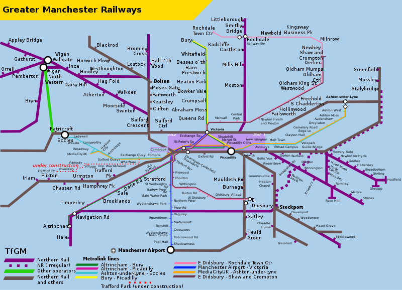
English: Map showing Metrolink and heavy rail services in Greater Manchester. Self-made using information obtained from the TfGM website and other maps uploaded to Wikimedia Commons. |
| Date | |
| Source | Own work |
| Author | RaviC |
| SVG development |
Licensing
I, the copyright holder of this work, hereby publish it under the following license:
This file is licensed under the Creative Commons Attribution-Share Alike 4.0 International license.
- You are free:
- to share – to copy, distribute and transmit the work
- to remix – to adapt the work
- Under the following conditions:
- attribution – You must give appropriate credit, provide a link to the license, and indicate if changes were made. You may do so in any reasonable manner, but not in any way that suggests the licensor endorses you or your use.
- share alike – If you remix, transform, or build upon the material, you must distribute your contributions under the same or compatible license as the original.
File history
Click on a date/time to view the file as it appeared at that time.
| Date/Time | Dimensions | User | Comment | |
|---|---|---|---|---|
| current | 02:49, 16 June 2019 | 926 × 669 (41 KB) | JoKalliauer | 1) insert station of Reddish North 2) increased minimum font-size="75" (before also 50 and 62.5) 3) changed font: fill="#3b3b3b" to black |
File usage
The following page uses this file: