File:Greenlee County Incorporated and Unincorporated areas.svg

Size of this PNG preview of this SVG file: 240 × 600 pixels. Other resolutions: 96 × 240 pixels | 192 × 480 pixels | 307 × 768 pixels | 409 × 1,024 pixels | 400 × 1,000 pixels.
Original file (SVG file, nominally 400 × 1,000 pixels, file size: 21 KB)
| This is a file from the Wikimedia Commons. The description on its description page there is shown below.
|
Summary
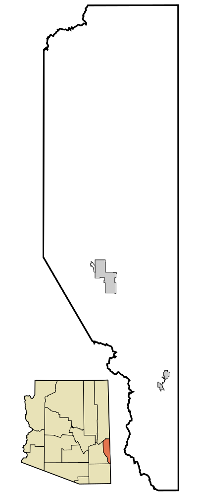
| Description | This map shows the incorporated areas and unincorporated areas in Greenlee County, Arizona. Incorporated cities are shown in gray and unincorporated communities or CDPs are shown in white. Data for the borders and locations are based on maps from the US Census Bureau TIGER Map Server. I created this map in Inkscape. |
| Date | |
| Source | My own work, based on public domain information |
| Author | Ixnayonthetimmay |
| Other versions | See Maps of Greenlee County for other versions of this image. |
| SVG development |
Licensing
| I, the copyright holder of this work, release this work into the public domain. This applies worldwide. In some countries this may not be legally possible; if so: I grant anyone the right to use this work for any purpose, without any conditions, unless such conditions are required by law. |
File history
Click on a date/time to view the file as it appeared at that time.
| Date/Time | Dimensions | User | Comment | |
|---|---|---|---|---|
| current | 20:31, 11 October 2014 | 400 × 1,000 (21 KB) | Wereldburger758 | Valid SVG now. |
File usage
The following page uses this file: