File:Hallerbos Plattegrond.JPG

Size of this preview: 800 × 600 pixels. Other resolutions: 320 × 240 pixels | 640 × 480 pixels | 1,024 × 768 pixels | 1,280 × 960 pixels | 1,632 × 1,224 pixels.
Original file (1,632 × 1,224 pixels, file size: 932 KB, MIME type: image/jpeg)
| This is a file from the Wikimedia Commons. The description on its description page there is shown below.
|
Summary
| Description |
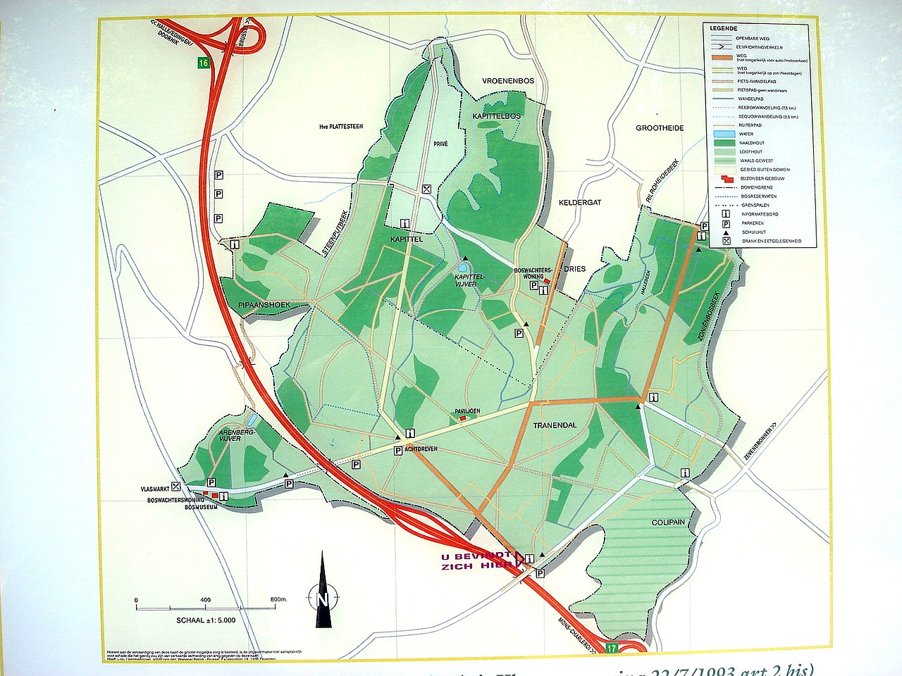
Deutsch: Karte des Naherholungsgebiets Hallerwald (Hallerbos) nahe Brüssel, Belgien. Eine Infotafel, die an verschiedenen Stellen im Wald hängt.
English: Map of the recreational area Forest of Halle (Hallerbos) near Brussels, Belgium. Information board that is placed at several spots of the forest.
Français : Plan du bois de Hal (Hallerbos). Plan affiché à divers endroits dans le bois.
Nederlands: Plattegrond Hallerbos (hangt op diverse plaatsen uit in het bos). |
| Date | |
| Source | Photographie personnelle / eigen foto |
| Author | Torsade de Pointes |
| Permission (Reusing this file) |
GFDL |
| Camera location | | View this and other nearby images on: OpenStreetMap |
|---|
Licensing

|
Permission is granted to copy, distribute and/or modify this document under the terms of the GNU Free Documentation License, Version 1.2 or any later version published by the Free Software Foundation; with no Invariant Sections, no Front-Cover Texts, and no Back-Cover Texts. A copy of the license is included in the section entitled GNU Free Documentation License. |
| This file is licensed under the Creative Commons Attribution-Share Alike 3.0 Unported license. | ||
| ||
| This licensing tag was added to this file as part of the GFDL licensing update. |
File history
Click on a date/time to view the file as it appeared at that time.
| Date/Time | Dimensions | User | Comment | |
|---|---|---|---|---|
| current | 07:05, 14 June 2008 | 1,632 × 1,224 (932 KB) | Torsade de Pointes | {{Information |Description={{fr|1=Plan du bois de Hal (Hallerbos). Plan affiché à divers endroits dans le bois.}} {{nl|1=Plattegrond Hallerbos (hangt op diverse plaatsen uit in het bos).}} |Source=Photographie personnelle / eigen foto |Author=Torsade de |
File usage
The following page uses this file: