File:Highway281South.jpg
Size of this preview: 600 × 600 pixels. Other resolutions: 240 × 240 pixels | 480 × 480 pixels | 768 × 768 pixels | 1,024 × 1,024 pixels | 1,936 × 1,936 pixels.
Original file (1,936 × 1,936 pixels, file size: 912 KB, MIME type: image/jpeg)
| This is a file from the Wikimedia Commons. The description on its description page there is shown below.
|
Summary
| Description |
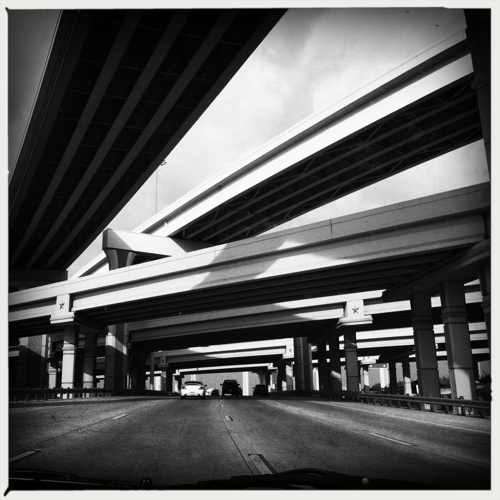
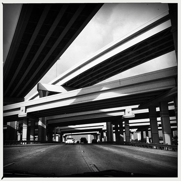
English: Image of Loop 410 (Eastbound) and I-10 Interchange, San Antonio, Bexar County, Texas, USA , using Hipstamatic Model: 260 Software: Wonder Lens, AO BW Film, No Flash |
| Date | |
| Source | Leslie Kelly |
| Author | Leslie Kelly, San Antonio, Texas |
Latitude: 29° 29' 52.8" N - Longitude: 98° 33' 3.6" W San Antonio, Bexar County, Texas, USA
Licensing

|
The copyright holder of this file allows anyone to use it for any purpose, provided that the copyright holder is properly attributed. Redistribution, derivative work, commercial use, and all other use is permitted. |
|
|
File history
Click on a date/time to view the file as it appeared at that time.
| Date/Time | Dimensions | User | Comment | |
|---|---|---|---|---|
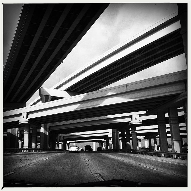
| current | 01:23, 27 November 2012 | 1,936 × 1,936 (912 KB) | Loveyk | {{Information |Description ={{en|1=Image of Highway 281 South, San Antonio, Bexar County, Texas, USA , using Hipstamatic Model: 260 Software: Wonder Lens, AO BW Film, No Flash}} |Source =Leslie Kelly |Author =Leslie Kelly, San Anton... |
File usage
The following page uses this file: