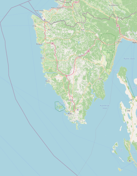
File:Istria County OpenStreetMap.svg

Size of this PNG preview of this SVG file: 469 × 599 pixels. Other resolutions: 188 × 240 pixels | 376 × 480 pixels | 470 × 600 pixels | 601 × 768 pixels | 801 × 1,024 pixels | 1,268 × 1,620 pixels.
Original file (SVG file, nominally 1,268 × 1,620 pixels, file size: 81.06 MB)
| This is a file from the Wikimedia Commons. The description on its description page there is shown below.
|
| Description |
This map of Istarska županija was created from OpenStreetMap project data, collected by the community. This map may be incomplete, and may contain errors. Don't rely solely on it for navigation. |
| Date | (see file history) |
| Source | openstreetmap.org |
| Creator |
OpenStreetMap contributors |
| Permission (Reusing this file) |
OpenStreetMap data and maps are licensed under the Creative Commons Attribution-ShareAlike 2.0 license (CC-BY-SA 2.0). This file is licensed under the Creative Commons Attribution-Share Alike 2.0 Generic license.
|
| Georeferencing | If inappropriate please set warp_status = skip to hide. |
File history
Click on a date/time to view the file as it appeared at that time.
| Date/Time | Dimensions | User | Comment | |
|---|---|---|---|---|
| current | 01:46, 13 December 2022 | 1,268 × 1,620 (81.06 MB) | Argo Navis | coordinates arew wrong, Reverted to version as of 10:21, 10 February 2022 (UTC) |
File usage
The following page uses this file: