File:Jackson-County-AL-census-map.png
Size of this preview: 728 × 600 pixels. Other resolutions: 291 × 240 pixels | 583 × 480 pixels | 932 × 768 pixels | 1,182 × 974 pixels.
Original file (1,182 × 974 pixels, file size: 326 KB, MIME type: image/png)
| This is a file from the Wikimedia Commons. The description on its description page there is shown below.
|
Summary
| Description |
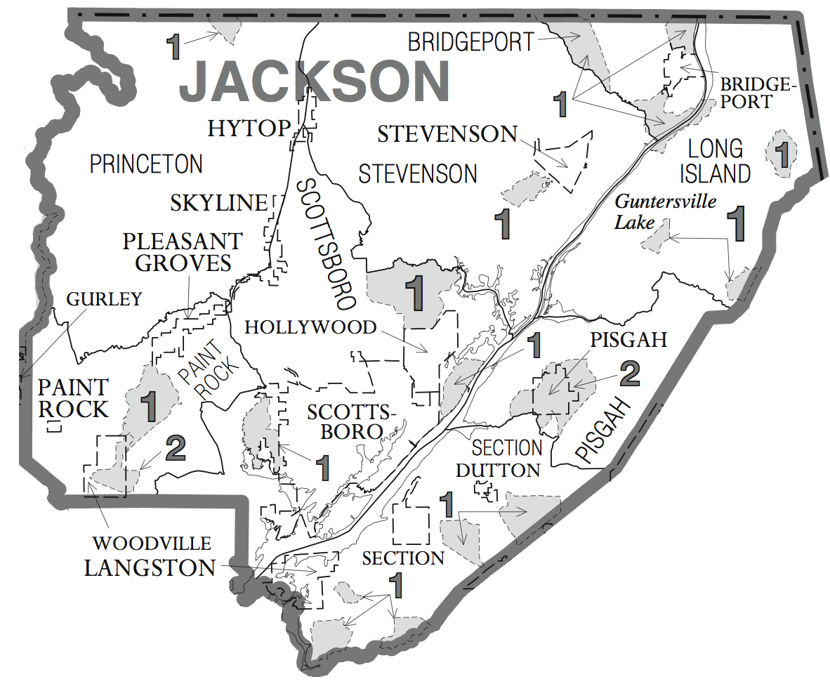
English: Map of Jackson County, Alabama, USA. |
| Date | Cropped/uploaded June 10, 2008 |
| Source | U.S. Federal Gov't. census maps (https://www.census.gov\/geo/www/maps/cousub2k_maps.htm), specifically the Alabama maps (http://ftp2.census.gov/geo/maps/general_ref/cousub_outline/cen2k_pgsz/al_cosub.pdf) |
| Author | Self (User:Nuberger13) /United States Census Bureau |
Licensing
This image or file is a work of a United States Census Bureau employee, taken or made as part of that person's official duties. As a work of the U.S. federal government, the image is in the public domain.
|
 |
Original upload log
Transferred from en.wikipedia to Commons by Magnus Manske using CommonsHelper.
The original description page was here. All following user names refer to en.wikipedia.
- 2008-06-10 20:46 Nuberger13 1182×974× (334330 bytes) {{Information |Description=Map of [[Jackson County, Alabama]], USA. |Source=U.S. Federal Gov't. census maps (http://www.census.gov/geo/www/maps/cousub2k_maps.htm), specifically the Alabama maps (http://ftp2.census.gov/geo/maps/general_ref/cousub_outline/c
File history
Click on a date/time to view the file as it appeared at that time.
| Date/Time | Dimensions | User | Comment | |
|---|---|---|---|---|
| current | 04:55, 19 February 2011 | 1,182 × 974 (326 KB) | File Upload Bot (Magnus Manske) | {{BotMoveToCommons|en.wikipedia|year={{subst:CURRENTYEAR}}|month={{subst:CURRENTMONTHNAME}}|day={{subst:CURRENTDAY}}}} {{Information |Description={{en|Map of en:Jackson County, Alabama, USA.}} |Source=Transferred from [http://en.wikipedia.org en.wi |
File usage
The following page uses this file: