File:Karte der Umgebung von Meran.jpg
No higher resolution available.
Karte_der_Umgebung_von_Meran.jpg (459 × 464 pixels, file size: 96 KB, MIME type: image/jpeg)
| This is a file from the Wikimedia Commons. The description on its description page there is shown below.
|
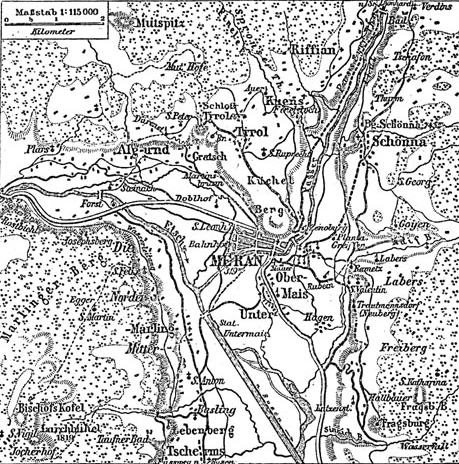
Historical map of surrounding area of Meran.
Source: Meyers Konversationslexikon (1888), Band 11, Seite 487
| This image comes from the 4th edition of Meyers Konversationslexikon (1885–90). The copyrights have expired and this image is in the public domain. |
|
This work is in the public domain in its country of origin and other countries and areas where the copyright term is the author's life plus 100 years or fewer. This work is in the public domain in the United States because it was published (or registered with the U.S. Copyright Office) before January 1, 1929. | |
| This file has been identified as being free of known restrictions under copyright law, including all related and neighboring rights. | |
File history
Click on a date/time to view the file as it appeared at that time.
| Date/Time | Dimensions | User | Comment | |
|---|---|---|---|---|
| current | 14:20, 15 February 2005 | 459 × 464 (96 KB) | ¡0-8-15! | {{PD-Meyers}} |
File usage
The following page uses this file: