File:Korea demilitarized zone map - 1969.jpg

Size of this preview: 800 × 225 pixels. Other resolutions: 320 × 90 pixels | 640 × 180 pixels | 1,024 × 288 pixels | 1,280 × 360 pixels | 11,456 × 3,226 pixels.
Original file (11,456 × 3,226 pixels, file size: 13.25 MB, MIME type: image/jpeg)
| This is a file from the Wikimedia Commons. The description on its description page there is shown below.
|
| Description |
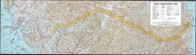
English: A map of the Korean demilitarized zone (DMZ), produced by the CIA in 1969.
|
||||||
| Date | |||||||
| Source |
Library of Congress
|
||||||
| Author | Central Intelligence Agency | ||||||
| Permission (Reusing this file) |
|
||||||

File history
Click on a date/time to view the file as it appeared at that time.
| Date/Time | Dimensions | User | Comment | |
|---|---|---|---|---|
| current | 23:23, 15 February 2010 | 11,456 × 3,226 (13.25 MB) | Inductiveload | {{Information |Description={{en|A map of the Korean demilitarized zone (DMZ), produced by the CIA in 1969. :Relief shown by contours and spot heights. Depths shown by contours. :Oriented with north toward the upper right. :Scale 1:250,000.}} |Source=Lib |
File usage
The following 2 pages use this file: