File:Laguna Uberaba División Bolivia Brasil Satellite map.png
Size of this preview: 800 × 550 pixels. Other resolutions: 320 × 220 pixels | 640 × 440 pixels | 1,024 × 703 pixels | 1,150 × 790 pixels.
Original file (1,150 × 790 pixels, file size: 2.2 MB, MIME type: image/png)
| This is a file from the Wikimedia Commons. The description on its description page there is shown below.
|
Summary
| Description |
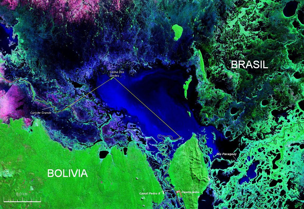
Español: Mapa Satelital con descripción de la zona de la Laguna Uberaba situada entre Bolivia y Brasil hecha a partir de una Imagen de la Nasa * Desde :
 Čeština: Satelitní snímek NASA s popisem zachycující oblast jezera Uberaba a okolí mezi Bolívií a Brazílií. |
| Source | Own work |
| Author | Paris88 |
| Camera location | | View this and other nearby images on: OpenStreetMap |
|---|
Licensing
I, the copyright holder of this work, hereby publish it under the following licenses:

|
Permission is granted to copy, distribute and/or modify this document under the terms of the GNU Free Documentation License, Version 1.2 or any later version published by the Free Software Foundation; with no Invariant Sections, no Front-Cover Texts, and no Back-Cover Texts. A copy of the license is included in the section entitled GNU Free Documentation License. |
This file is licensed under the Creative Commons Attribution-Share Alike 3.0 Unported, 2.5 Generic, 2.0 Generic and 1.0 Generic license.
- You are free:
- to share – to copy, distribute and transmit the work
- to remix – to adapt the work
- Under the following conditions:
- attribution – You must give appropriate credit, provide a link to the license, and indicate if changes were made. You may do so in any reasonable manner, but not in any way that suggests the licensor endorses you or your use.
- share alike – If you remix, transform, or build upon the material, you must distribute your contributions under the same or compatible license as the original.
You may select the license of your choice.
File history
Click on a date/time to view the file as it appeared at that time.
| Date/Time | Dimensions | User | Comment | |
|---|---|---|---|---|
| current | 04:33, 20 October 2007 | 1,150 × 790 (2.2 MB) | Paris88 | {{Information |Description=Mapa Satelital con descripción de la zona de la Laguna Uberaba situada entre Bolivia y Brasil hecha a partir de una Imagen de la Nasa * '''Desde :''' [[Image:Laguna Uberaba Bolivia Brasil Satellite map 57.80521W 17.png|thumb|Or |
File usage
The following page uses this file: