File:Location map Washington, D.C. central.png
No higher resolution available.
Location_map_Washington,_D.C._central.png (627 × 599 pixels, file size: 218 KB, MIME type: image/png)
| This is a file from the Wikimedia Commons. The description on its description page there is shown below.
|

|
This city map image could be re-created using vector graphics as an SVG file. This has several advantages; see Commons:Media for cleanup for more information. If an SVG form of this image is available, please upload it and afterwards replace this template with
{{vector version available|new image name}}.
It is recommended to name the SVG file “Location map Washington, D.C. central.svg”—then the template Vector version available (or Vva) does not need the new image name parameter. |
| Description |
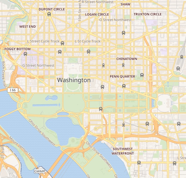
This map of Washington D.C. was created from OpenStreetMap project data, collected by the community. This map may be incomplete, and may contain errors. Don't rely solely on it for navigation. |
|||||||||
| Date | (see file history) | |||||||||
| Source | openstreetmap.org | |||||||||
| Creator |
OpenStreetMap contributors |
|||||||||
| Permission (Reusing this file) |
OpenStreetMap data and maps are licensed under the Creative Commons Attribution-ShareAlike 2.0 license (CC-BY-SA 2.0). This file is licensed under the Creative Commons Attribution-Share Alike 2.0 Generic license.
|
|||||||||
| Geotemporal data | ||||||||||
| Bounding box |
|
|||||||||
| Georeferencing | If inappropriate please set warp_status = skip to hide. | |||||||||
File history
Click on a date/time to view the file as it appeared at that time.
| Date/Time | Dimensions | User | Comment | |
|---|---|---|---|---|
| current | 13:41, 8 September 2018 | 627 × 599 (218 KB) | LinkTiger | Get same image from Wikimedia's map server: https://maps.wikimedia.org/img/osm-intl,14,38.893,-77.03075,627x599.png It's still bad, but maybe not quite as bad? |
File usage
The following page uses this file: