File:Lough Mask area map.svg

Size of this PNG preview of this SVG file: 739 × 600 pixels. Other resolutions: 296 × 240 pixels | 592 × 480 pixels | 947 × 768 pixels | 1,262 × 1,024 pixels | 864 × 701 pixels.
Original file (SVG file, nominally 864 × 701 pixels, file size: 1.77 MB)
| This is a file from the Wikimedia Commons. The description on its description page there is shown below.
|
| Description |
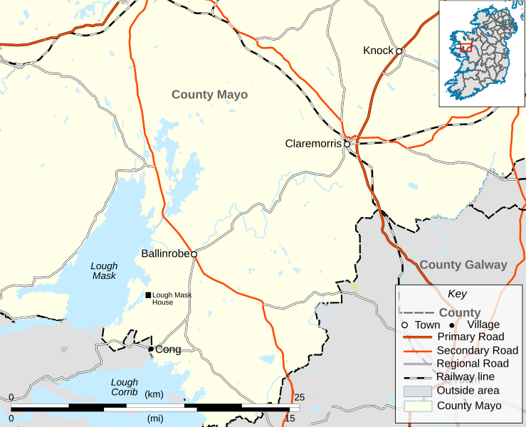
English: This is a map of the Lough Mask area of County Mayo. The present work was created to illustrate w:Charles Boycott. All small roads beneath regional status were removed from the map for clarity. All towns on the map are those visible on openstreetmaps.org at 1:435000, with the exception of Cong, which is included because it is mentioned in the above article. County boundaries have not been changed from openstreetmap's data |
| Date | |
| Source | Own work. derived from an openstreetmap.org map, inset derived from File:Island of Ireland location map Mayo.svg. Elements from File:Maps template-en.svg were used. |
| Author |
|
| Permission (Reusing this file) |
This file is licensed under the Creative Commons Attribution 2.0 Generic license.
|
File history
Click on a date/time to view the file as it appeared at that time.
| Date/Time | Dimensions | User | Comment | |
|---|---|---|---|---|
| current | 15:53, 21 June 2011 | 864 × 701 (1.77 MB) | Quasihuman | Adding lough mask house, relevant to w:Charles Boycott |
File usage
The following page uses this file: