File:Map Ystad Sweden.jpg

Original file (1,898 × 2,943 pixels, file size: 5.65 MB, MIME type: image/jpeg)
| This is a file from the Wikimedia Commons. The description on its description page there is shown below.
|
Summary
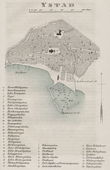
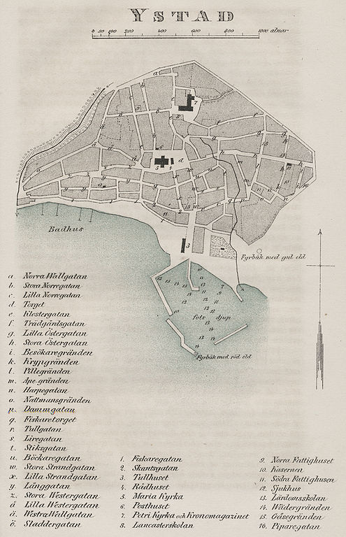
| Description | Map from about 1850 of the town of Ystad in Sweden. |
| Source | Old printed map in my possession. |
| Author |
Licensing
|
This work is in the public domain in its country of origin and other countries and areas where the copyright term is the author's life plus 70 years or fewer.
| |
| This file has been identified as being free of known restrictions under copyright law, including all related and neighboring rights. | |
File history
Click on a date/time to view the file as it appeared at that time.
| Date/Time | Dimensions | User | Comment | |
|---|---|---|---|---|
| current | 10:09, 3 January 2010 | 1,898 × 2,943 (5.65 MB) | Sven Rosborn | {{Information |Description= Map from about 1850 of the town of Ystad in Sweden. |Source= Old printed map in my possession. |Date= |Author= |Permission= |other_versions= }} |
File usage
The following page uses this file: