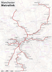
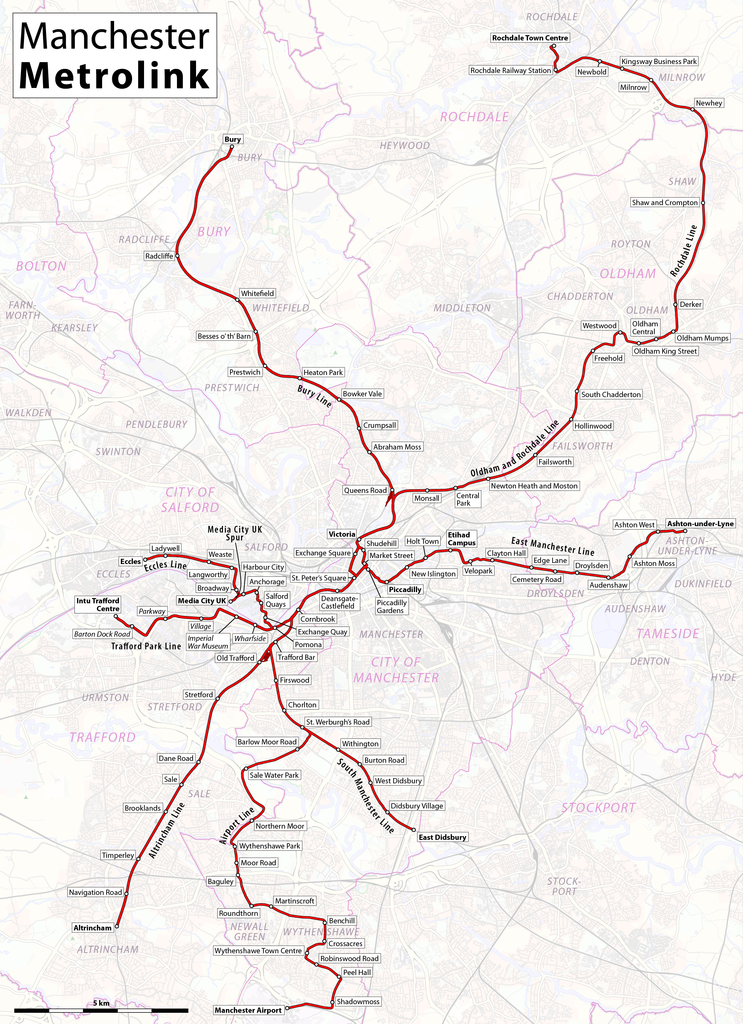
File:Map of Manchester Metrolink.png

Size of this preview: 435 × 599 pixels. Other resolutions: 174 × 240 pixels | 348 × 480 pixels | 435 × 600 pixels | 557 × 768 pixels | 743 × 1,024 pixels | 1,986 × 2,736 pixels.
Original file (1,986 × 2,736 pixels, file size: 4.1 MB, MIME type: image/png)
| This is a file from the Wikimedia Commons. The description on its description page there is shown below.
|
| Description |
|
|||
| Date | see file history | |||
| Source | Own work, using OpenStreetMap data for the background | |||
| Author | Maximilian Dörrbecker (Chumwa) | |||
| Permission (Reusing this file) |
All OpenStreetMap data and maps are Creative Commons "CC-BY-SA 2.0" licensed This file is licensed under the Creative Commons Attribution-Share Alike 2.0 Generic license.
|
|||
| Other versions |
|


File history
Click on a date/time to view the file as it appeared at that time.
| Date/Time | Dimensions | User | Comment | |
|---|---|---|---|---|
| current | 01:51, 13 June 2020 | 1,986 × 2,736 (4.1 MB) | Chumwa | update |
File usage
The following page uses this file: