File:Map of Port Said (Baedeker, 1914).jpg

Size of this preview: 397 × 600 pixels. Other resolutions: 159 × 240 pixels | 318 × 480 pixels | 508 × 768 pixels | 678 × 1,024 pixels | 1,553 × 2,346 pixels.
Original file (1,553 × 2,346 pixels, file size: 3.32 MB, MIME type: image/jpeg)
| This is a file from the Wikimedia Commons. The description on its description page there is shown below.
|
.jpg)
| Description |
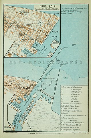
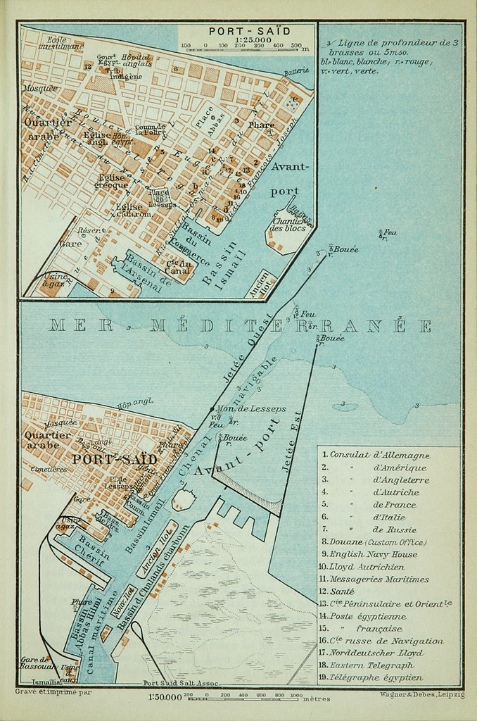
Français : Carte de Port-Saïd et ses environs, esp. les facilités du port (1:50,000), avec une carte plus petite de la centre-ville (1:25,000), avec la légende en français.
English: Map of Port Said and environs, esp. the port facilities (1:50,000), with an inserted smaller map of the actual city (1:25,000); labelled in French. |
| Date | |
| Source |
Original publication: Indien. Handbuch für Reisende. Verlag Karl Baedeker, Leipzig, 1914, p. 4 f. |
| Author |
Karl Baedeker |
|
This work is in the public domain in its country of origin and other countries and areas where the copyright term is the author's life plus 100 years or fewer. This work is in the public domain in the United States because it was published (or registered with the U.S. Copyright Office) before January 1, 1929. | |
| This file has been identified as being free of known restrictions under copyright law, including all related and neighboring rights. | |
| Annotations | This image is annotated: View the annotations at Commons |
File history
Click on a date/time to view the file as it appeared at that time.
| Date/Time | Dimensions | User | Comment | |
|---|---|---|---|---|
| current | 03:44, 28 February 2017 | 1,553 × 2,346 (3.32 MB) | Ubel | {{subst:Upload marker added by en.wp UW}} {{Information |Description = {{en|Map of Port Said and environs, esp. the port facilities (1:50,000), with an inserted smaller map of the actual city (1:25,000); labelled in French.}} |Source = '''Original publ... |
File usage
The following page uses this file:
.jpg)