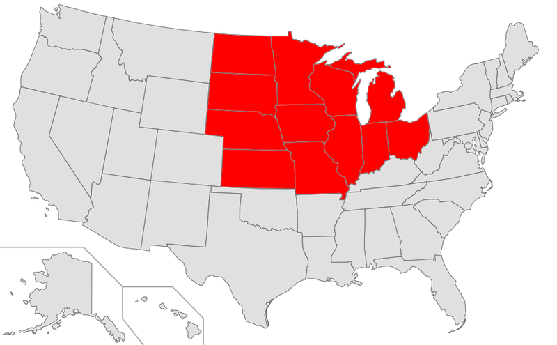
File:Map of USA highlighting Midwest.png

Size of this preview: 800 × 495 pixels. Other resolutions: 320 × 198 pixels | 640 × 396 pixels | 959 × 593 pixels.
Original file (959 × 593 pixels, file size: 111 KB, MIME type: image/png)
| This is a file from the Wikimedia Commons. The description on its description page there is shown below.
|
Summary
| Description | |
| Date | 15 May 2004 (original upload date) |
| Source | Transferred from en.wikipedia to Commons by Hippopotamus using CommonsHelper. |
| Author | The original uploader was Wapcaplet at English Wikipedia. |
Licensing
| This file is licensed under the Creative Commons Attribution-Share Alike 3.0 Unported license. Subject to disclaimers. | ||
| ||
| This licensing tag was added to this file as part of the GFDL licensing update. |

|
Permission is granted to copy, distribute and/or modify this document under the terms of the GNU Free Documentation License, Version 1.2 or any later version published by the Free Software Foundation; with no Invariant Sections, no Front-Cover Texts, and no Back-Cover Texts. A copy of the license is included in the section entitled GNU Free Documentation License. Subject to disclaimers. |
Original upload log
The original description page was here. All following user names refer to en.wikipedia.
- 2005-01-11 02:11 Grendelkhan 904×593×4 (26119 bytes) Larger version based on [[:Image:Map of USA.png]].
- 2004-05-15 02:10 Wapcaplet 280×183×8 (16812 bytes) Map of [[United States]] created by [[User:Wapcaplet|Wapcaplet]]
File history
Click on a date/time to view the file as it appeared at that time.
| Date/Time | Dimensions | User | Comment | |
|---|---|---|---|---|
| current | 09:19, 10 January 2015 | 959 × 593 (111 KB) | ElKevbo | Bring this set of maps into alignment with U.S. Census Bureau; see http://www.census.gov/geo/www/us_regdiv.pdf Specifically, this corrects the maps to remove Delaware from the Northeast region; the previous versions had it in both the South and Northe... |
File usage
The following page uses this file: