File:North Pole Road in London, 2013.jpg
Size of this preview: 800 × 533 pixels. Other resolutions: 320 × 213 pixels | 640 × 427 pixels | 1,024 × 683 pixels | 1,280 × 853 pixels | 4,752 × 3,168 pixels.
Original file (4,752 × 3,168 pixels, file size: 5.99 MB, MIME type: image/jpeg)
| This is a file from the Wikimedia Commons. The description on its description page there is shown below.
|
Summary
| Description |
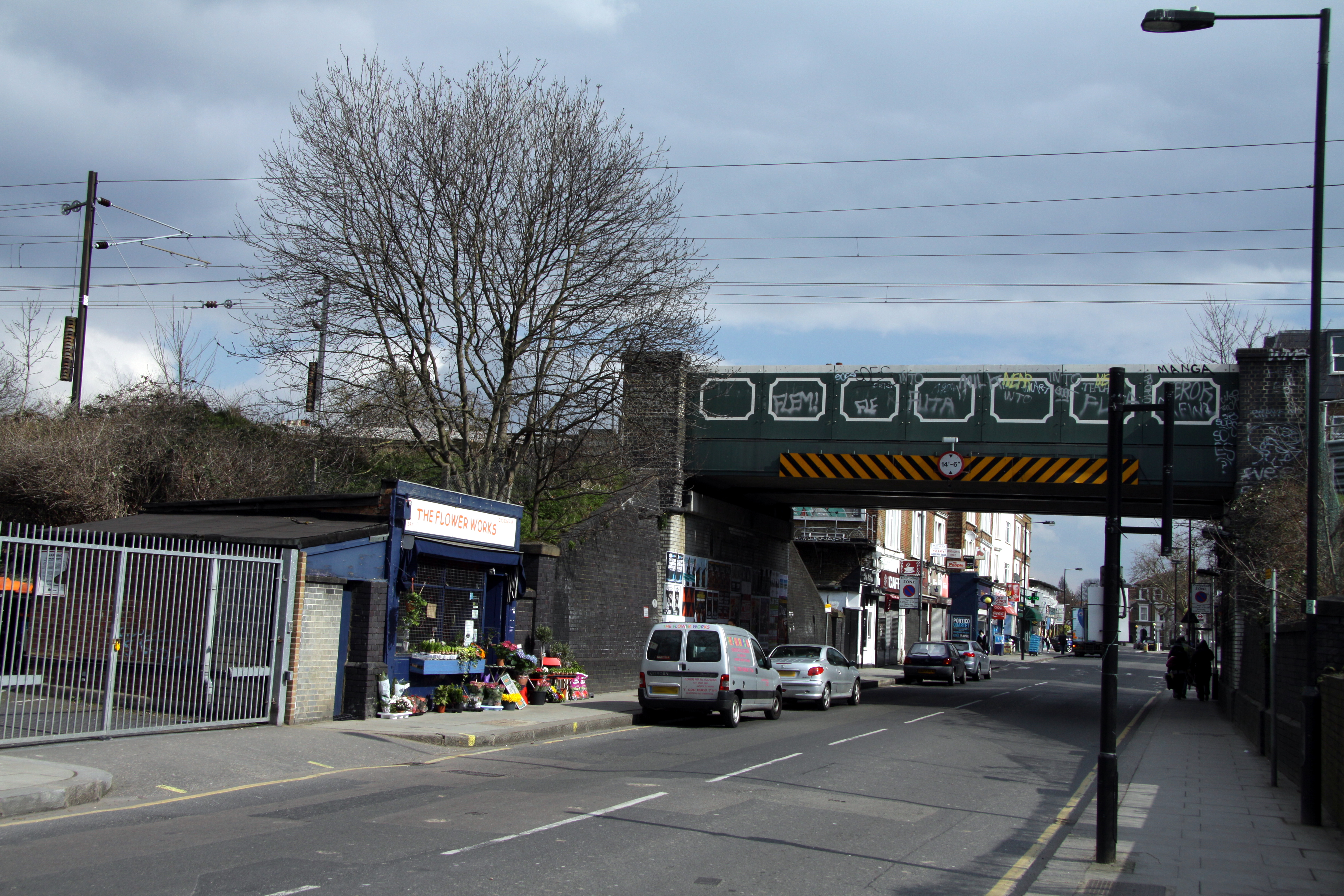
English: Railway bridge over North Pole road in London, England, Great Britain. The railway line passing over this bridge is the West London Line between Willesden Junction and Shepherd's Bush stations (left to right is north to south). To the left of the picture is the site of the former St. Quintin Park and Wormwood Scrubs railway station which was closed in 1940.
|
||||
| Date | |||||
| Source | Own work | ||||
| Author | Chmee2 |
The making of this file was supported by Wikimedia UK.
To see other files made with the support of Wikimedia UK, please see the category Supported by Wikimedia UK.
|
Licensing
This file is licensed under the Creative Commons Attribution-Share Alike 3.0 Unported license.
- You are free:
- to share – to copy, distribute and transmit the work
- to remix – to adapt the work
- Under the following conditions:
- attribution – You must give appropriate credit, provide a link to the license, and indicate if changes were made. You may do so in any reasonable manner, but not in any way that suggests the licensor endorses you or your use.
- share alike – If you remix, transform, or build upon the material, you must distribute your contributions under the same or compatible license as the original.
File history
Click on a date/time to view the file as it appeared at that time.
| Date/Time | Dimensions | User | Comment | |
|---|---|---|---|---|
| current | 04:07, 2 April 2013 | 4,752 × 3,168 (5.99 MB) | Chmee2 |
File usage
The following page uses this file: