File:Ocean Beach San Francisco aerial view.jpg
Size of this preview: 800 × 533 pixels. Other resolutions: 320 × 213 pixels | 640 × 426 pixels | 1,024 × 682 pixels | 1,500 × 999 pixels.
Original file (1,500 × 999 pixels, file size: 787 KB, MIME type: image/jpeg)
| This is a file from the Wikimedia Commons. The description on its description page there is shown below.
|
| Description |
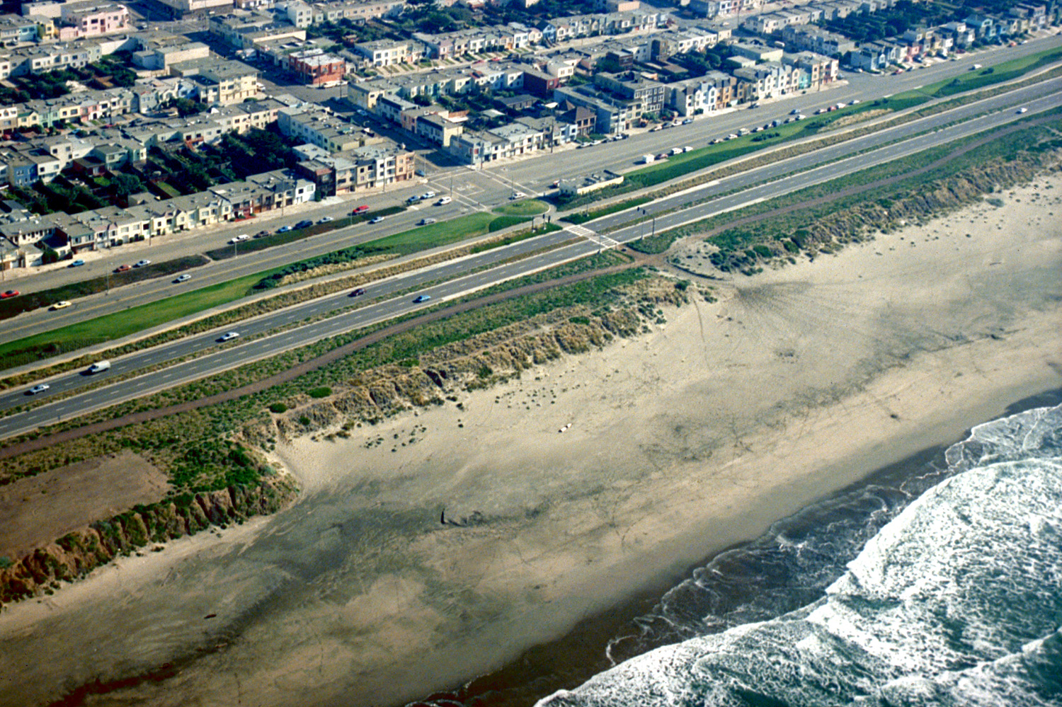
English: Aerial view of the Ocean Beach neighborhood on the Pacific Ocean in San Francisco, California, USA. This photograph appears to be centered on the intersection of Taraval Street and Great Highway. View is to the southeast.
Coordinates: 37°44′30.1″N 122°30′24.56″W / 37.741694°N 122.5068222°W |
|||
| Date | not specified or unknown | |||
| Source |
U.S. Army Corps of Engineers Digital Visual Library Image page Image description page Digital Visual Library home page |
|||
| Author | Robert Campbell, U.S. Army Corps of Engineers | |||
| Permission (Reusing this file) |
|
|||
| Location | San Francisco, California, USA |
File history
Click on a date/time to view the file as it appeared at that time.
| Date/Time | Dimensions | User | Comment | |
|---|---|---|---|---|
| current | 21:44, 2 May 2007 | 1,500 × 999 (787 KB) | DanMS | {{Information | Description = {{en|Aerial view of the Ocean Beach neighborhood on the Pacific Ocean in San Francisco, California, USA. This photograph appears to be centered on the intersection of Taraval Street and Great Highway. View is to the southe |
File usage
The following page uses this file: