File:Pegunungan Arfak from the Pond of Rendani.jpg

Size of this preview: 800 × 533 pixels. Other resolutions: 320 × 213 pixels | 640 × 426 pixels | 1,024 × 682 pixels | 1,280 × 853 pixels | 2,074 × 1,382 pixels.
Original file (2,074 × 1,382 pixels, file size: 1.29 MB, MIME type: image/jpeg)
| This is a file from the Wikimedia Commons. The description on its description page there is shown below.
|
Summary
| Description |
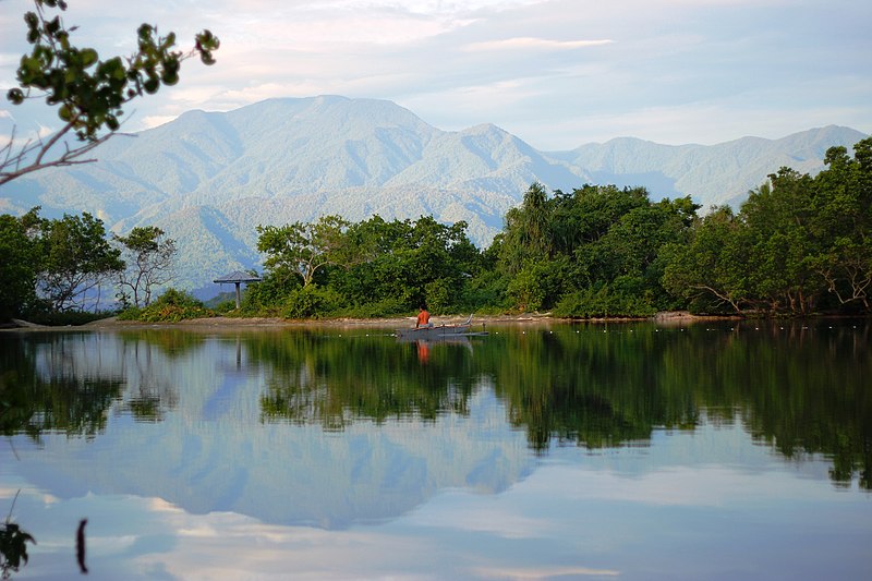
English: Pegunungan Arfak, the highest point in West Papua, can be seen from a pond near the Rendani Airport. |
| Date | |
| Source | https://geolocation.ws/v/P/108742907/pond-of-rendani/en |
| Author | David Worabay |
| Camera location | | View this and other nearby images on: OpenStreetMap |
|---|
Licensing
This file is licensed under the Creative Commons Attribution-Share Alike 3.0 Unported license.
- You are free:
- to share – to copy, distribute and transmit the work
- to remix – to adapt the work
- Under the following conditions:
- attribution – You must give appropriate credit, provide a link to the license, and indicate if changes were made. You may do so in any reasonable manner, but not in any way that suggests the licensor endorses you or your use.
- share alike – If you remix, transform, or build upon the material, you must distribute your contributions under the same or compatible license as the original.
File history
Click on a date/time to view the file as it appeared at that time.
| Date/Time | Dimensions | User | Comment | |
|---|---|---|---|---|
| current | 14:41, 3 March 2015 | 2,074 × 1,382 (1.29 MB) | TheRedPlanet447 | User created page with UploadWizard |
File usage
The following page uses this file: