File:Port Austin Michigan aerial view.jpg
Size of this preview: 800 × 560 pixels. Other resolutions: 320 × 224 pixels | 640 × 448 pixels | 1,024 × 717 pixels | 1,280 × 896 pixels | 1,500 × 1,050 pixels.
Original file (1,500 × 1,050 pixels, file size: 602 KB, MIME type: image/jpeg)
| This is a file from the Wikimedia Commons. The description on its description page there is shown below.
|
| Description |
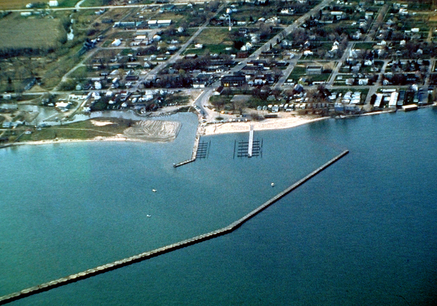
English: Aerial view of Port Austin, Michigan, USA. The city lies on the northeast edge of Saginaw Bay on Lake Huron. |
|||
| Date | not specified or unknown | |||
| Source |
U.S. Army Corps of Engineers Digital Visual Library Image page Image description page Digital Visual Library home page |
|||
| Author | U.S. Army Corps of Engineers, photographer not specified or unknown | |||
| Permission (Reusing this file) |
|
|||
| Location | Port Austin, Huron County, Michigan, USA |
| Camera location | | View this and other nearby images on: OpenStreetMap |
|---|
File history
Click on a date/time to view the file as it appeared at that time.
| Date/Time | Dimensions | User | Comment | |
|---|---|---|---|---|
| current | 18:43, 29 March 2007 | 1,500 × 1,050 (602 KB) | DanMS | {{Information | Description = {{en|Aerial view of Port Austin, Michigan, USA. The city lies on the northeast edge of Saginaw Bay on Lake Huron.}} | Source = U.S. Army Corps of Engineers Digital Visual Library<br />[http://images.usace.army.mil/ |
File usage
The following page uses this file: