File:Reuss-Ponto inter Unterlunkhofen kaj Rottenschwil 076.jpg

Size of this preview: 800 × 536 pixels. Other resolutions: 320 × 214 pixels | 640 × 428 pixels | 1,024 × 685 pixels | 1,280 × 857 pixels | 3,872 × 2,592 pixels.
Original file (3,872 × 2,592 pixels, file size: 4.24 MB, MIME type: image/jpeg)
| This is a file from the Wikimedia Commons. The description on its description page there is shown below.
|
Summary
| Description |
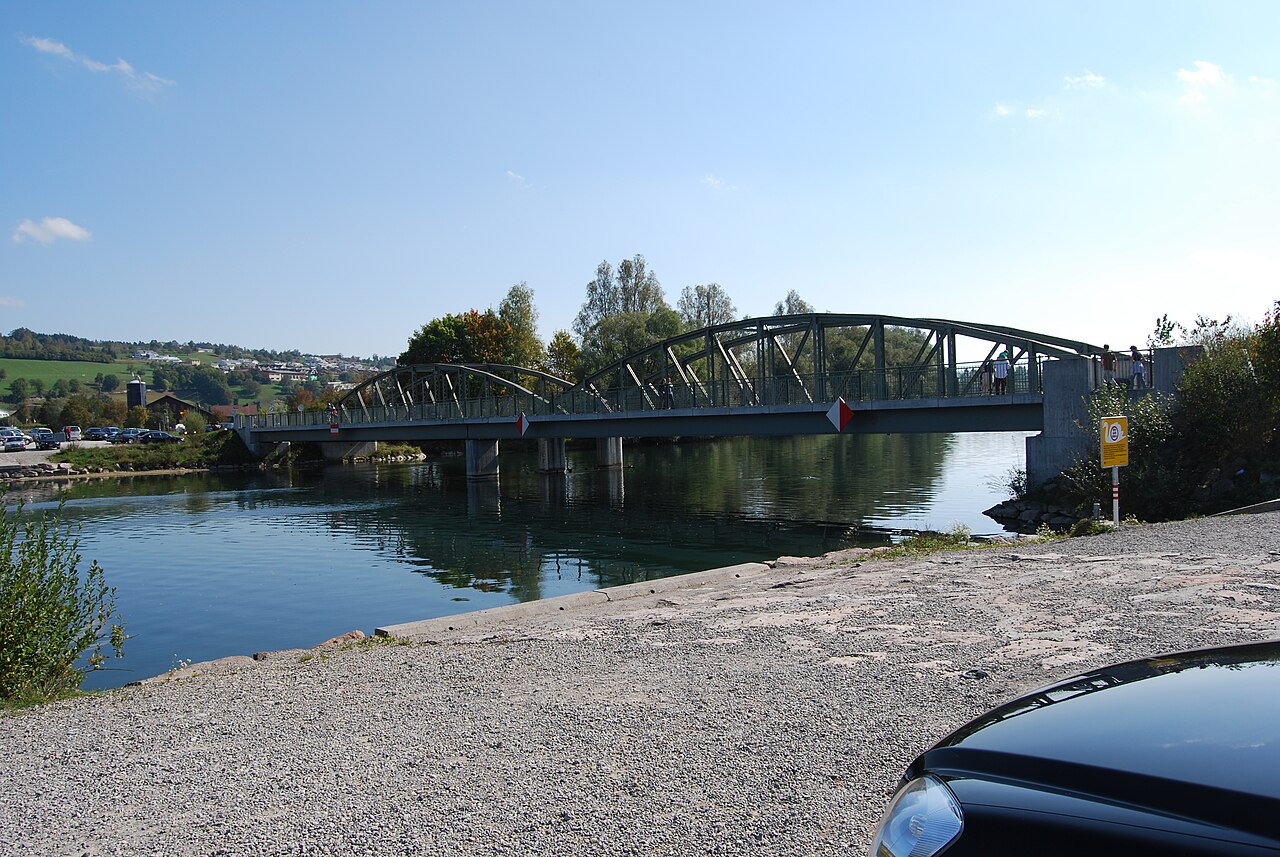
English: Brigde over Reuss between Unterlunkhofen and Rottenschwil (the bridge forms the upper end of lake Flachsee), canton of Aargau, Switzerland
Esperanto: Ponto trans Reuss inter Unterlunkhofen kaj Rottenschwil (la ponto formas la supran finon de la lago Flachsee), Kantono Argovio, Svislando
Deutsch: Brücke über die Reuss zwischen Unterlunkhofen und Rottenschwil (die Brücke bildet das obere Ende des Flachsees), Kanton Aargau, Schweiz |
| Date | |
| Source | Own work |
| Author | DidiWeidmann |
| Permission (Reusing this file) |
GFDL |
| Object location | | View this and other nearby images on: OpenStreetMap |
|---|
Licensing
I, the copyright holder of this work, hereby publish it under the following licenses:

|
Permission is granted to copy, distribute and/or modify this document under the terms of the GNU Free Documentation License, Version 1.2 or any later version published by the Free Software Foundation; with no Invariant Sections, no Front-Cover Texts, and no Back-Cover Texts. A copy of the license is included in the section entitled GNU Free Documentation License. |
This file is licensed under the Creative Commons Attribution-Share Alike 3.0 Unported, 2.5 Generic, 2.0 Generic and 1.0 Generic license.
- You are free:
- to share – to copy, distribute and transmit the work
- to remix – to adapt the work
- Under the following conditions:
- attribution – You must give appropriate credit, provide a link to the license, and indicate if changes were made. You may do so in any reasonable manner, but not in any way that suggests the licensor endorses you or your use.
- share alike – If you remix, transform, or build upon the material, you must distribute your contributions under the same or compatible license as the original.
You may select the license of your choice.
File history
Click on a date/time to view the file as it appeared at that time.
| Date/Time | Dimensions | User | Comment | |
|---|---|---|---|---|
| current | 13:52, 6 October 2009 | 3,872 × 2,592 (4.24 MB) | DidiWeidmann | {{Information |Description={{en|Brigde over Reuss between Unterlunkhofen and Rottenschwi, canton of Aargau, Switzerland}}{{eo|Ponto trans Reuss inter Unterlunkhofen kaj Rottenschwi, Kantono Argovio, Svislando}}{{de|Brücke über die Reuss zwischen Unterlu |
File usage
The following 2 pages use this file: