File:Rutas shido shogun.svg

Size of this PNG preview of this SVG file: 574 × 600 pixels. Other resolutions: 230 × 240 pixels | 459 × 480 pixels | 735 × 768 pixels | 980 × 1,024 pixels | 760 × 794 pixels.
Original file (SVG file, nominally 760 × 794 pixels, file size: 130 KB)
| This is a file from the Wikimedia Commons. The description on its description page there is shown below.
|
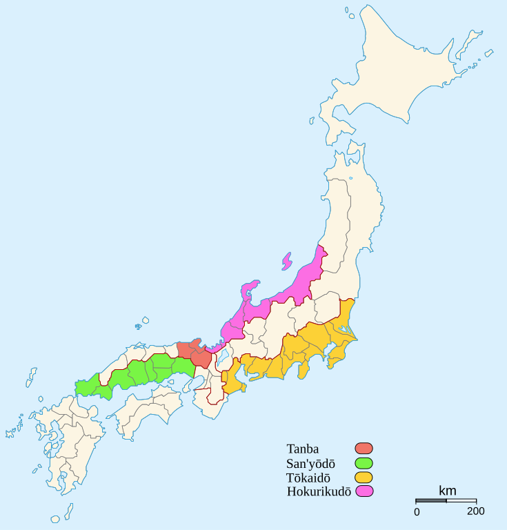
| Description | Rutas de los distintos shidō shōgun según el Nihonshoki | ||
| Date | (UTC) | ||
| Source | |||
| Author | |||
| Permission (Reusing this file) |
I, the copyright holder of this work, hereby publish it under the following licenses:
This file is licensed under the Creative Commons Attribution 2.5 Generic license.
You may select the license of your choice. |
||
| Other versions |
Derivative works of this file: Rutas shido shogun-han.svg
|


[[Category:Maps of the forme
|Permission= |other_versions=Derivative works of this file: Rutas shido shogun-han.svg
}}
| This is a retouched picture, which means that it has been digitally altered from its original version. Modifications: rutas de los shidō shōgun. The original can be viewed here: Provinces of Japan.svg:
|
This file is licensed under the Creative Commons Attribution-Share Alike 3.0 Unported license.
- You are free:
- to share – to copy, distribute and transmit the work
- to remix – to adapt the work
- Under the following conditions:
- attribution – You must give appropriate credit, provide a link to the license, and indicate if changes were made. You may do so in any reasonable manner, but not in any way that suggests the licensor endorses you or your use.
- share alike – If you remix, transform, or build upon the material, you must distribute your contributions under the same or compatible license as the original.
Original upload log
This image is a derivative work of the following images:
- File:Provinces_of_Japan.svg licensed with Cc-by-2.5, GFDL
- 2007-02-08T16:27:35Z Ash Crow 760x794 (119935 Bytes) '
- 2007-02-07T13:10:59Z Ash Crow 760x794 (120606 Bytes) '
- 2007-01-31T11:36:09Z Ash Crow 549x573 (105093 Bytes) Rétablissement de la version précédente
- 2007-01-31T11:35:30Z Ash Crow 760x794 (163050 Bytes) Redrawn Hokkaido, added km bar
- 2007-01-25T03:40:18Z Ash Crow 549x573 (105093 Bytes) blue blackground
- 2007-01-25T03:38:00Z Ash Crow 548x571 (104602 Bytes) == Description == {{Information |Description=Blank map of the former Japanese provinces, with standard colours. |Source=Own work, based on [[:Image:Old Japan Mutsu.svg]] (CC-by // GFDL [[User:Pirate]] |Date=25 january 2007 |A
Uploaded with derivativeFX
File history
Click on a date/time to view the file as it appeared at that time.
| Date/Time | Dimensions | User | Comment | |
|---|---|---|---|---|
| current | 06:29, 10 March 2017 | 760 × 794 (130 KB) | 荒巻モロゾフ | Former Tamba included Tango and Tajima. Boundaries of dō depicted as red lines. |
File usage
The following page uses this file: