File:Scipio Township near Republic.jpg
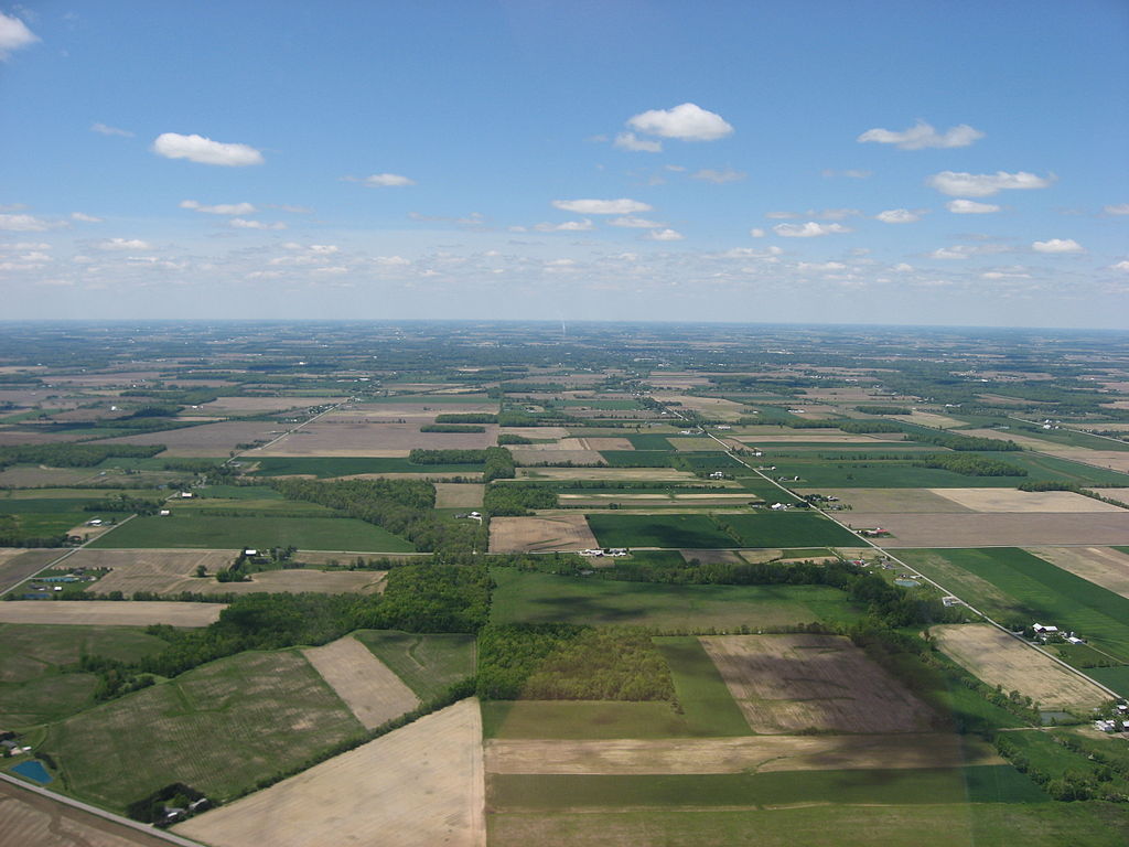
Size of this preview: 800 × 600 pixels. Other resolutions: 320 × 240 pixels | 640 × 480 pixels | 1,024 × 768 pixels | 1,280 × 960 pixels | 2,816 × 2,112 pixels.
Original file (2,816 × 2,112 pixels, file size: 2.17 MB, MIME type: image/jpeg)
| This is a file from the Wikimedia Commons. The description on its description page there is shown below.
|
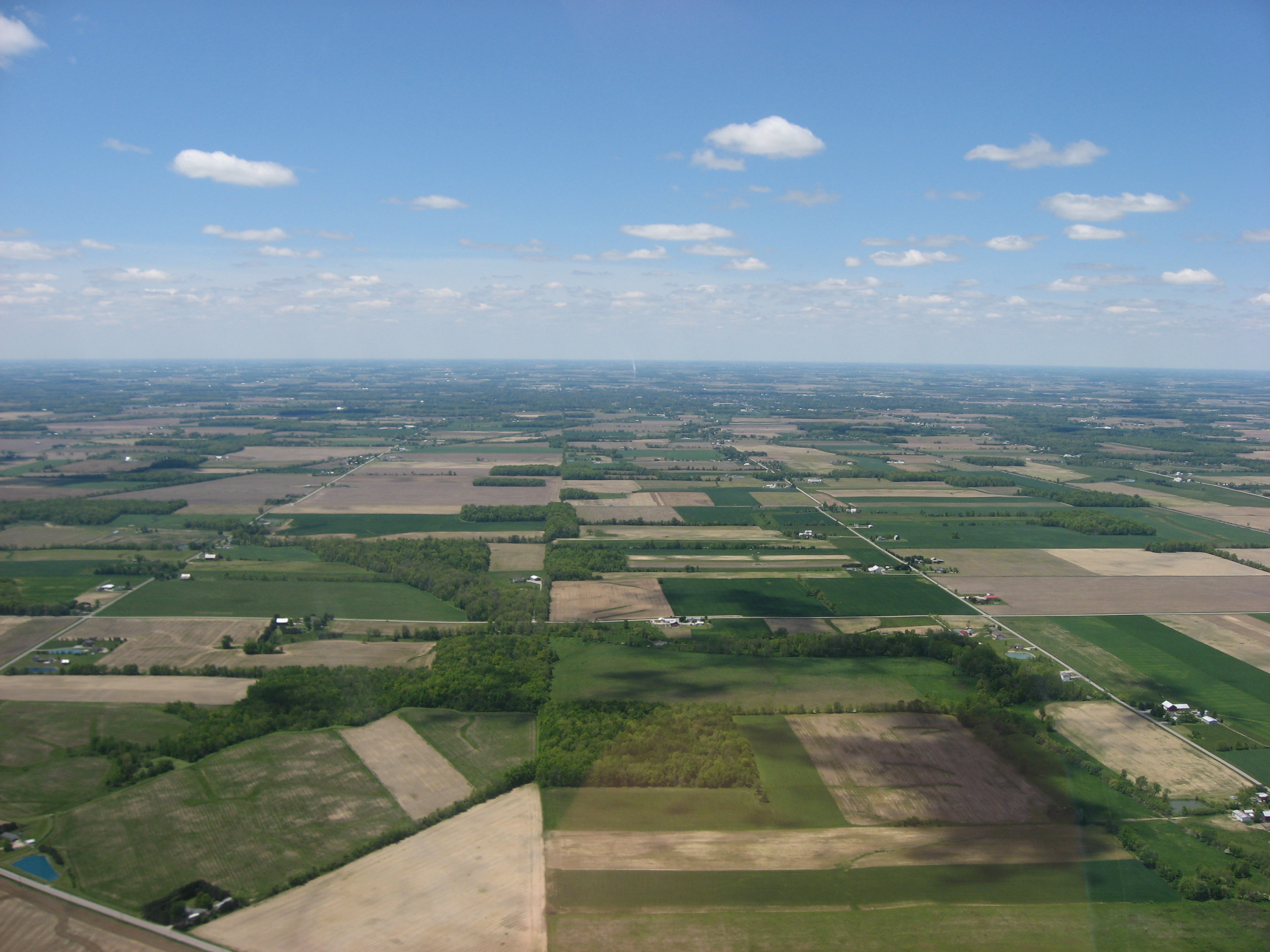
| Description | Aerial view of southwestern Scipio Township, Seneca County, Ohio, United States, just southwest of Republic. Picture taken from a Diamond Eclipse light airplane at an altitude of 2,500 feet MSL and a bearing of approximately 270º. Diagonal road in bottom left corner is State Route 67. | ||
| Date | Taken on 24 May 2008 | ||
| Source | Own work | ||
| Author | Nyttend | ||
| Permission (Reusing this file) |
|
File history
Click on a date/time to view the file as it appeared at that time.
| Date/Time | Dimensions | User | Comment | |
|---|---|---|---|---|
| current | 14:30, 15 August 2008 | 2,816 × 2,112 (2.17 MB) | Nyttend | {{Information |Description=Aerial view of southwestern {{w|Scipio Township, Seneca County, Ohio|Scipio Township}}, {{w|Seneca County, Ohio|Seneca County}}, {{w|Ohio}}, {{w|United States}}, just southwest of {{w|Republic, Ohio|Republic}}. Picture taken fr |
File usage
The following page uses this file: