File:Shepherds Flat Wind Farm 2011.jpg
Size of this preview: 800 × 535 pixels. Other resolutions: 320 × 214 pixels | 640 × 428 pixels | 1,024 × 685 pixels | 1,280 × 856 pixels | 2,693 × 1,801 pixels.
Original file (2,693 × 1,801 pixels, file size: 1.11 MB, MIME type: image/jpeg)
| This is a file from the Wikimedia Commons. The description on its description page there is shown below.
|
Summary
| Description |
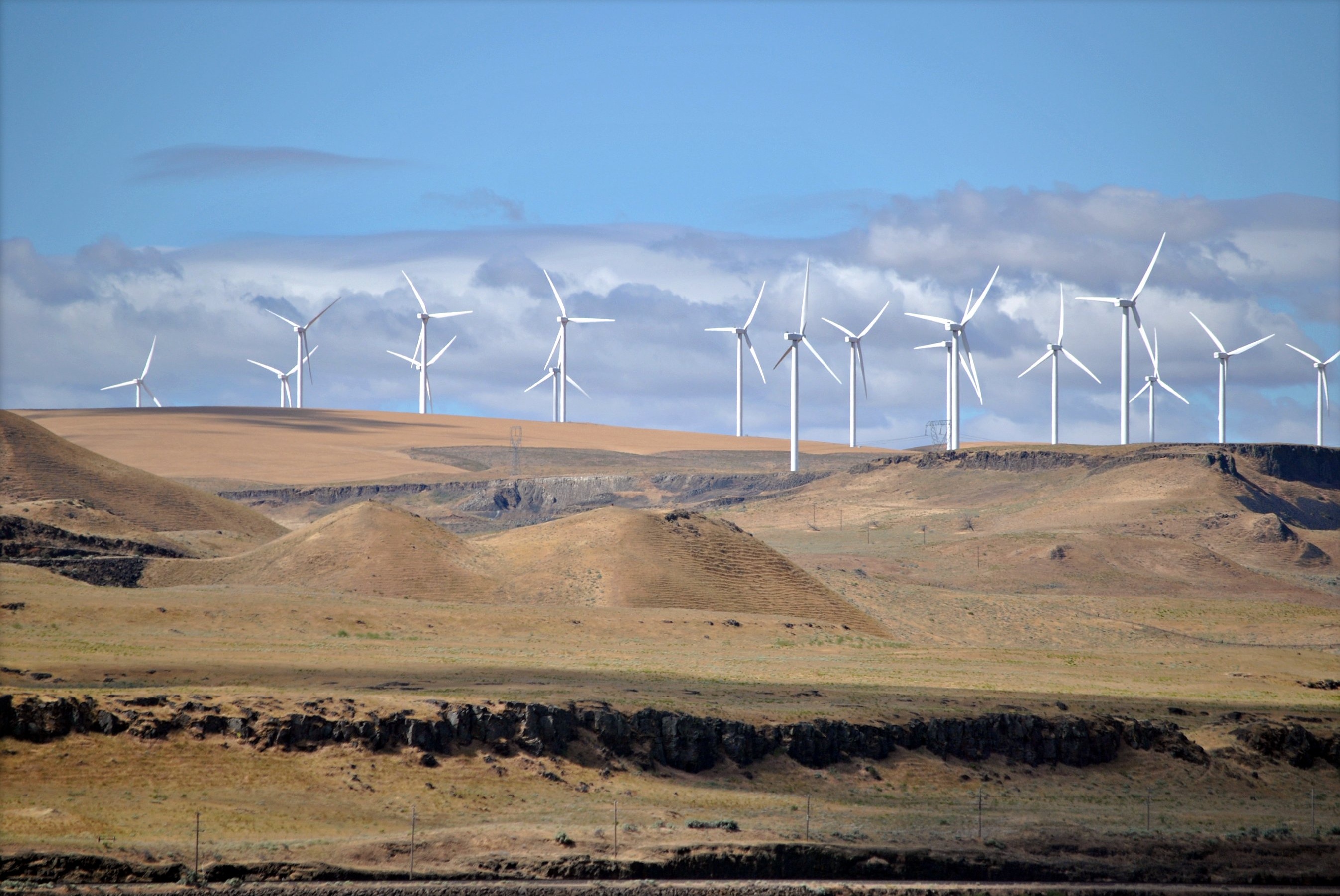
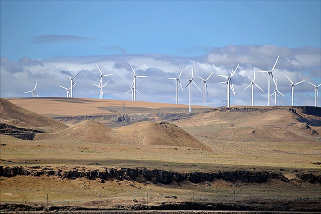
Shepherds Flat Wind Farm, Oregon, USA, seen from the Empire Builder train route. العربية: مزرعةٌ ريحيّةٌ تحملُ الاسم «شيباردز» وتُنتج طاقةً قدرها 845 ميجاواط وتقعُ في ولاية أوريجون بالولايات المتحدة الأمريكيّة. |
| Date | |
| Source | flickr: More Windmills...... |
| Author | Steve Wilson from Orpington, UK |
| Camera location | | View this and other nearby images on: OpenStreetMap |
|---|
Licensing
This file is licensed under the Creative Commons Attribution 2.0 Generic license.
- You are free:
- to share – to copy, distribute and transmit the work
- to remix – to adapt the work
- Under the following conditions:
- attribution – You must give appropriate credit, provide a link to the license, and indicate if changes were made. You may do so in any reasonable manner, but not in any way that suggests the licensor endorses you or your use.
| This image was originally posted to Flickr by Loco Steve at https://www.flickr.com/photos/36989019@N08/6171921757. It was reviewed on 19 November 2012 by FlickreviewR and was confirmed to be licensed under the terms of the cc-by-2.0. |
File history
Click on a date/time to view the file as it appeared at that time.
| Date/Time | Dimensions | User | Comment | |
|---|---|---|---|---|
| current | 15:54, 19 November 2012 | 2,693 × 1,801 (1.11 MB) | Elekhh | cropped frame |
File usage
The following 3 pages use this file: