File:Somali region map Ethiopia.png

Size of this preview: 800 × 566 pixels. Other resolutions: 320 × 226 pixels | 640 × 453 pixels | 1,024 × 725 pixels | 1,280 × 906 pixels | 3,280 × 2,321 pixels.
Original file (3,280 × 2,321 pixels, file size: 778 KB, MIME type: image/png)
| This is a file from the Wikimedia Commons. The description on its description page there is shown below.
|
Summary
| Description |
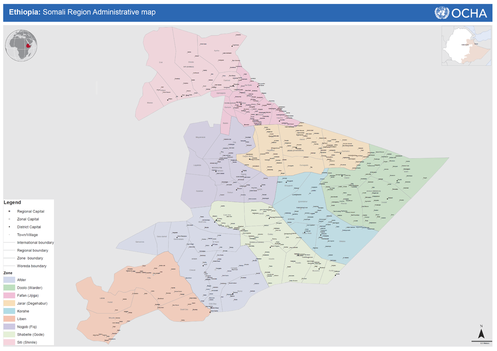
English: Ethiopia: Somali Region Administrative map |
| Date | |
| Source |
Ethiopia: Somali Region Administrative map (as of 05 Jan 2015) MAP from UN Office for the Coordination of Humanitarian Affairs Published on 05 Jan 2015. UN Office for the Coordination of Humanitarian Affairs Ref. number: 21_ADM__SOM_010515_A0 http://reliefweb.int/map/ethiopia/ethiopia-somali-region-administrative-map-05-jan-2015 |
| Author | Shakaa Consultancy, UNCS, Field Survey |
Licensing
This file is licensed under the Creative Commons Attribution-Share Alike 4.0 International license.
- You are free:
- to share – to copy, distribute and transmit the work
- to remix – to adapt the work
- Under the following conditions:
- attribution – You must give appropriate credit, provide a link to the license, and indicate if changes were made. You may do so in any reasonable manner, but not in any way that suggests the licensor endorses you or your use.
- share alike – If you remix, transform, or build upon the material, you must distribute your contributions under the same or compatible license as the original.
File history
Click on a date/time to view the file as it appeared at that time.
| Date/Time | Dimensions | User | Comment | |
|---|---|---|---|---|
| current | 14:14, 9 October 2016 | 3,280 × 2,321 (778 KB) | AlaskaLava | User created page with UploadWizard |
File usage
The following page uses this file: