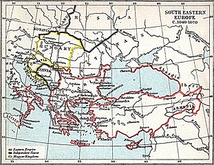
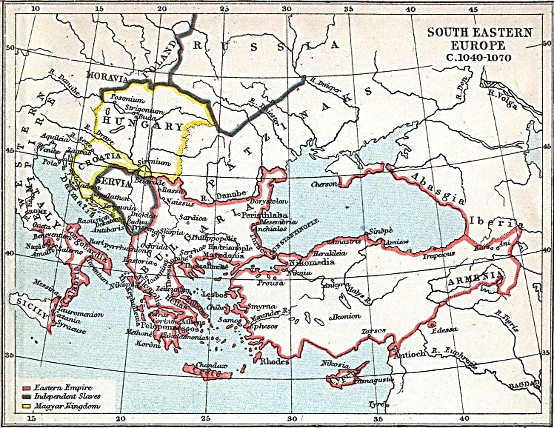
File:South-eastern Europe 1040.jpg

Size of this preview: 776 × 600 pixels. Other resolutions: 311 × 240 pixels | 621 × 480 pixels | 994 × 768 pixels | 1,122 × 867 pixels.
Original file (1,122 × 867 pixels, file size: 332 KB, MIME type: image/jpeg)
| This is a file from the Wikimedia Commons. The description on its description page there is shown below.
|
Summary
| Description |
English: Map of south-eastern Europe and Asia Minor c. 1040 AD |
| Date | |
| Source | Map at the Perry-Castañeda Library Map Collection of the University of Texas |
| Author | J.B. Bury |
Licensing
This media file is in the public domain in the United States. This applies to U.S. works where the copyright has expired, often because its first publication occurred prior to January 1, 1929, and if not then due to lack of notice or renewal. See this page for further explanation.
|
 | |
 |
This image might not be in the public domain outside of the United States; this especially applies in the countries and areas that do not apply the rule of the shorter term for US works, such as Canada, Mainland China (not Hong Kong or Macao), Germany, Mexico, and Switzerland. The creator and year of publication are essential information and must be provided. See Wikipedia:Public domain and Wikipedia:Copyrights for more details.
|
File history
Click on a date/time to view the file as it appeared at that time.
| Date/Time | Dimensions | User | Comment | |
|---|---|---|---|---|
| current | 05:15, 29 March 2010 | 1,122 × 867 (332 KB) | Cplakidas | {{Information |Description={{en|1=Map of south-eastern Europe and Asia Minor ca. 1040 AD}} |Source=[http://www.lib.utexas.edu/maps/historical/se_europe_1040.jpg Map] at the [http://www.lib.utexas.edu/maps/ Perry-Castañeda Library Map Collection] of the U |
File usage
The following page uses this file: