File:St Lucie Inlet aerial view.jpg
Size of this preview: 800 × 504 pixels. Other resolutions: 320 × 202 pixels | 640 × 403 pixels | 1,024 × 645 pixels | 1,500 × 945 pixels.
Original file (1,500 × 945 pixels, file size: 120 KB, MIME type: image/jpeg)
| This is a file from the Wikimedia Commons. The description on its description page there is shown below.
|
| Description |
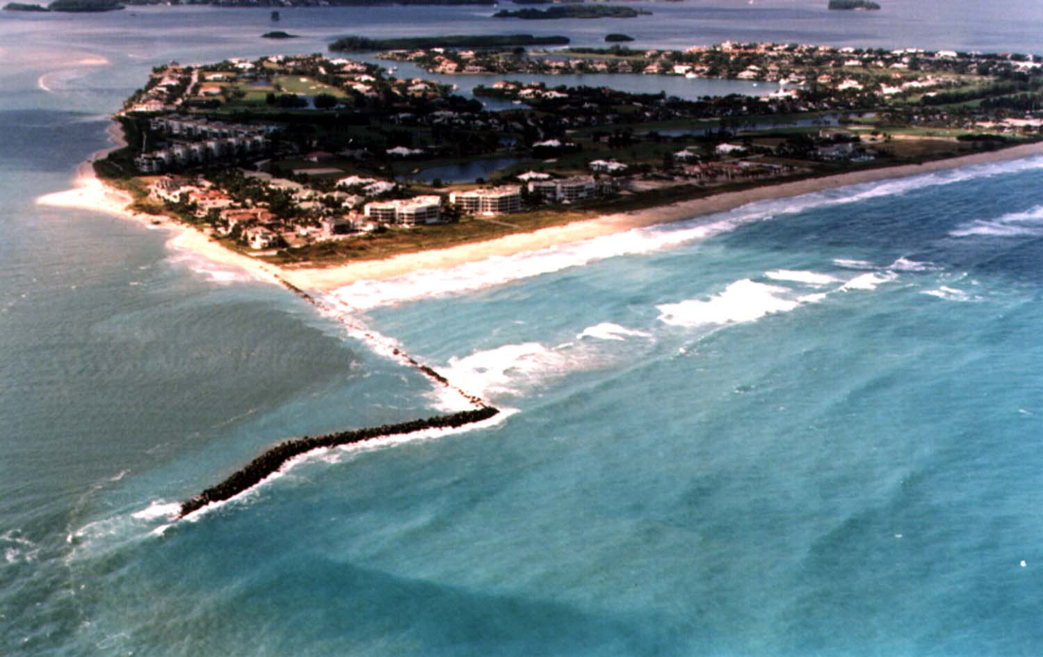
English: Aerial view of Sailfish Point and the St. Lucie Inlet in Martin County, Florida, USA. The inlet is an entrance from the Atlantic Ocean to the Indian River Lagoon and the St. Lucie River. View is to the northwest from over the Atlantic Ocean.
Coordinates: 27°9′58″N 80°9′24″W / 27.16611°N 80.15667°W |
|||
| Location | Martin County | |||
| Date | not specified or unknown | |||
| Source |
U.S. Army Corps of Engineers Digital Visual Library Image page Image description page Digital Visual Library home page |
|||
| Author | Tony Santana, U.S. Army Corps of Engineers | |||
| Permission (Reusing this file) |
|
File history
Click on a date/time to view the file as it appeared at that time.
| Date/Time | Dimensions | User | Comment | |
|---|---|---|---|---|
| current | 20:20, 26 April 2007 | 1,500 × 945 (120 KB) | DanMS | {{Information | Description = {{en|Aerial view of St. Lucie Inlet in Martin County, Florida, USA. The inlet is an entrance from the Atlantic Ocean to the Indian River Lagoon and the city of Port St. Lucie. View is to the northwest from over the Atlanti |
File usage
The following page uses this file: