File:Volgograd - Building of Regional Committee of KPSS and Executive Committee 002.jpg

Size of this preview: 800 × 460 pixels. Other resolutions: 320 × 184 pixels | 640 × 368 pixels | 1,024 × 589 pixels | 1,280 × 736 pixels | 5,616 × 3,228 pixels.
Original file (5,616 × 3,228 pixels, file size: 6.08 MB, MIME type: image/jpeg)
| This is a file from the Wikimedia Commons. The description on its description page there is shown below.
|
Summary
| Description |
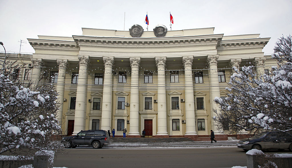
Русский: Здание Волгоградского областного комитета КПСС и облисполкома (ныне Администрация Волгоградской области и Волгоградская областная Дума). Года постройки: 1950-1953 гг. Архитектор Обухов Е.И., Кулев А.С. Адрес: Волгоград, пр. Ленина, 9. Памятник архитектуры регионального значения.
This file was uploaded with Commonist. |
| Date | 20 January 2012 (according to Exif data) |
| Source | volganet.ru, direct |
| Author | администрация Волгоградской области |
| Permission (Reusing this file) |
CC-BY-SA 3.0 Unported and GNU Free Documentation License 1.3 |
| Camera location | | View this and other nearby images on: OpenStreetMap |
|---|
Licensing

|
This file comes from the website of the Governor of Volgograd Oblast and is copyrighted. This file is licensed under the Creative Commons Attribution-ShareAlike 3.0 Unported Licence and GNU Free Documentation License version 1.3. In short: you are free to distribute and modify the file as long as you attribute www.volganet.ru.
The permission letter from the Press Secretary for the Governor of Volgograd Oblast (the Russian Federation) is available as Volganet authorisation-Russian.pdf (ru).
|
www.volganet.ru, the copyright holder of this work, hereby publishes it under the following licenses:
This file is licensed under the Creative Commons Attribution-Share Alike 3.0 Unported license.
Attribution: www.volganet.ru
- You are free:
- to share – to copy, distribute and transmit the work
- to remix – to adapt the work
- Under the following conditions:
- attribution – You must give appropriate credit, provide a link to the license, and indicate if changes were made. You may do so in any reasonable manner, but not in any way that suggests the licensor endorses you or your use.
- share alike – If you remix, transform, or build upon the material, you must distribute your contributions under the same or compatible license as the original.

|
Permission is granted to copy, distribute and/or modify this document under the terms of the GNU Free Documentation License, Version 1.3 or any later version published by the Free Software Foundation; with no Invariant Sections, no Front-Cover Texts, and no Back-Cover Texts. A copy of the license is included in the section entitled GNU Free Documentation License.
|
You may select the license of your choice.
File history
Click on a date/time to view the file as it appeared at that time.
| Date/Time | Dimensions | User | Comment | |
|---|---|---|---|---|
| current | 22:22, 29 January 2013 | 5,616 × 3,228 (6.08 MB) | Slick-o-bot | Bot: convert to a non-interlaced jpeg (see bug #17645) |
File usage
The following 2 pages use this file: