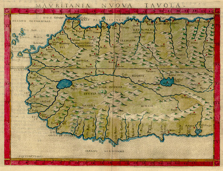
File:1561 map of West Africa by Girolamo Ruscelli.JPG

Size of this preview: 781 × 599 pixels. Other resolutions: 313 × 240 pixels | 626 × 480 pixels | 782 × 600 pixels | 1,001 × 768 pixels | 1,200 × 921 pixels.
Original file (1,200 × 921 pixels, file size: 1.64 MB, MIME type: image/jpeg)
File history
Click on a date/time to view the file as it appeared at that time.
| Date/Time | Dimensions | User | Comment | |
|---|---|---|---|---|
| current | 09:23, 13 July 2007 | 1,200 × 921 (1.64 MB) | Hispalois | {{Information |Description=MAVRITANIA NVOVA TAVOLA, from Italian translation of Ptolemy's Atlas “La Geograpfia Di Claudio Tolomeo Alessandrino, Nouvamente Tradatta Di Greco in Italiano”. Published in 1575 in Latin and Italian. 17.5 x 23.9 cm. On sheet |
File usage
The following page uses this file:

