File:Aïn Témouchent communes de la wilaya.png
Size of this preview: 800 × 546 pixels. Other resolutions: 320 × 219 pixels | 640 × 437 pixels | 1,024 × 699 pixels | 1,280 × 874 pixels | 2,000 × 1,366 pixels.
Original file (2,000 × 1,366 pixels, file size: 131 KB, MIME type: image/png)
| This is a file from the Wikimedia Commons. The description on its description page there is shown below.
|
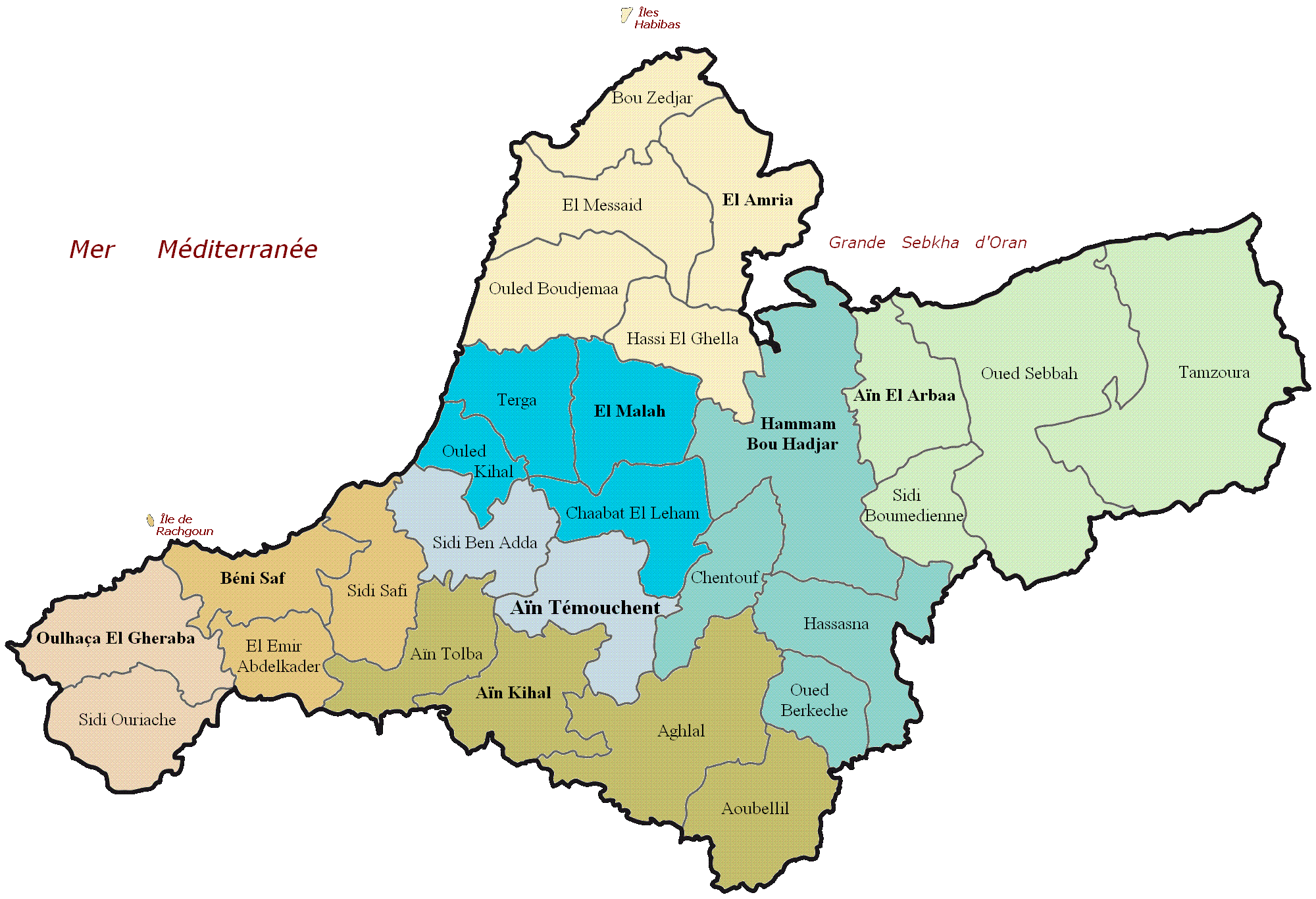
| Description | Carte administrative de la wilaya d'Aïn Témouchent |
| Date | (UTC) |
| Source | |
| Author |
|
_map.svg)
| This is a retouched picture, which means that it has been digitally altered from its original version. Modifications: Nom des communes de la wilaya d'Aïn Témouchent. The original can be viewed here: Dz - Wilaya de Aïn Témouchent (46) map.svg:
|
I, the copyright holder of this work, hereby publish it under the following licenses:
This file is licensed under the Creative Commons Attribution-Share Alike 3.0 Unported, 2.5 Generic, 2.0 Generic and 1.0 Generic license.
- You are free:
- to share – to copy, distribute and transmit the work
- to remix – to adapt the work
- Under the following conditions:
- attribution – You must give appropriate credit, provide a link to the license, and indicate if changes were made. You may do so in any reasonable manner, but not in any way that suggests the licensor endorses you or your use.
- share alike – If you remix, transform, or build upon the material, you must distribute your contributions under the same or compatible license as the original.

|
Permission is granted to copy, distribute and/or modify this document under the terms of the GNU Free Documentation License, Version 1.2 or any later version published by the Free Software Foundation; with no Invariant Sections, no Front-Cover Texts, and no Back-Cover Texts. A copy of the license is included in the section entitled GNU Free Documentation License. |
You may select the license of your choice.
Original upload log
This image is a derivative work of the following images:
- File:Dz_-_Wilaya_de_Aïn_Témouchent_(46)_map.svg licensed with Cc-by-sa-3.0,2.5,2.0,1.0, GFDL
- 2011-02-18T20:41:43Z Indif 1272x869 (221159 Bytes)
Uploaded with derivativeFX
Original upload log
| Date/Time | Dimensions | User | Comment |
|---|---|---|---|
| 19 February 2011, 11:21:49 | 2000 × 1366 (168969 bytes) | Tmouchentois (talk · contribs) | {{Information |Description=Daïra de la wilaya de Tizi-Ouzou |Source=*[[:File:Dz_-_Wilaya_de_Aïn_Témouchent_(46)_map.svg|]] |Date=2011-02-19 11:17 (UTC) |Author=*[[:File:Dz_-_Wilaya_de_Aïn_Témouchent_(46)_map.svg|]]: Indif *derivative work: ~~~ |Permi |
File history
Click on a date/time to view the file as it appeared at that time.
| Date/Time | Dimensions | User | Comment | |
|---|---|---|---|---|
| current | 04:55, 21 August 2014 | 2,000 × 1,366 (131 KB) | GifTagger | Bot: Converting file to superior PNG file. (Source: Aïn_Témouchent_communes_de_la_wilaya.GIF). This GIF was problematic due to non-greyscale color table. |
File usage
The following page uses this file: