File:BES islands location map.svg

Size of this PNG preview of this SVG file: 698 × 599 pixels. Other resolutions: 280 × 240 pixels | 559 × 480 pixels | 699 × 600 pixels | 894 × 768 pixels | 1,192 × 1,024 pixels | 1,346 × 1,156 pixels.
Original file (SVG file, nominally 1,346 × 1,156 pixels, file size: 177 KB)
| This is a file from the Wikimedia Commons. The description on its description page there is shown below.
|
Summary
| Description |
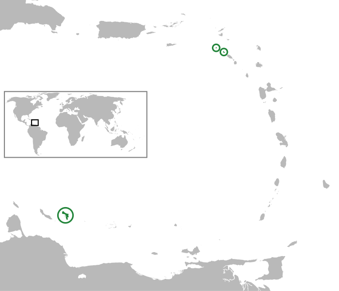
English: In the Caribbean Netherlands, Lesser Antilles, Caribbean. Equirectangular projection, N/S stretching 103 %. Geographic limits of the map:
|
| Date | (UTC) |
| Source | |
| Author |
|
| This is a retouched picture, which means that it has been digitally altered from its original version. Modifications: converted world map to SVG image and merged the two vector images to show the location of the BES islands in the Lesser Antilles. The original can be viewed here: Lesser Antilles location map.svg:
|
This file is licensed under the Creative Commons Attribution-Share Alike 3.0 Unported license.
- You are free:
- to share – to copy, distribute and transmit the work
- to remix – to adapt the work
- Under the following conditions:
- attribution – You must give appropriate credit, provide a link to the license, and indicate if changes were made. You may do so in any reasonable manner, but not in any way that suggests the licensor endorses you or your use.
- share alike – If you remix, transform, or build upon the material, you must distribute your contributions under the same or compatible license as the original.
Original upload log
This image is a derivative work of the following images:
- File:Lesser_Antilles_location_map.svg licensed with Cc-by-sa-3.0
- 2010-10-13T14:01:05Z NordNordWest 1346x1156 (188285 Bytes) upd
- 2009-09-29T15:56:19Z NordNordWest 1346x1156 (287896 Bytes) =={{int:filedesc}}== {{Information |Description= {{de|Positionskarte der [[:de:Kleine Antillen|Kleinen Antillen]]}} Quadratische Plattkarte, N-S-Streckung 103 %. Geographische Begrenzung der Karte: * N: 19.2° N * S: 9.7° N
- File:BlankMap-World-noborders.png licensed with PD-user-en, PD-user-w
- 2006-06-19T22:45:24Z Sanbec 1357x628 (19458 Bytes) Thumbnail generation
Uploaded with derivativeFX
File history
Click on a date/time to view the file as it appeared at that time.
| Date/Time | Dimensions | User | Comment | |
|---|---|---|---|---|
| current | 09:21, 27 June 2011 | 1,346 × 1,156 (177 KB) | Thayts | Strokes tweak |
File usage
The following 2 pages use this file: