File:Berkshire outline map with UK.png
No higher resolution available.
Berkshire_outline_map_with_UK.png (800 × 434 pixels, file size: 189 KB, MIME type: image/png)
| This is a file from the Wikimedia Commons. The description on its description page there is shown below.
|
Summary

|
This map image could be re-created using vector graphics as an SVG file. This has several advantages; see Commons:Media for cleanup for more information. If an SVG form of this image is available, please upload it and afterwards replace this template with
{{vector version available|new image name}}.
It is recommended to name the SVG file “Berkshire outline map with UK.svg”—then the template Vector version available (or Vva) does not need the new image name parameter. |
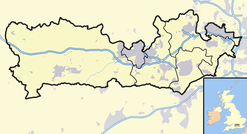
| Description | Map of the county of Berkshire, England, United Kingdom |
| Date | |
| Source | Own work |
| Author | User:Jza84 |
Licensing
| I, the copyright holder of this work, release this work into the public domain. This applies worldwide. In some countries this may not be legally possible; if so: I grant anyone the right to use this work for any purpose, without any conditions, unless such conditions are required by law. |
File history
Click on a date/time to view the file as it appeared at that time.
| Date/Time | Dimensions | User | Comment | |
|---|---|---|---|---|
| current | 15:24, 18 October 2007 | 800 × 434 (189 KB) | Jza84 | {{Information |Description=Map of the county of Berkshire, England, United Kingdom |Source=self-made |Date=October 2001 |Author= Jhamez84 }} |
File usage
There are no pages that use this file.