File:Illinois - background map.png
Size of this preview: 443 × 600 pixels. Other resolutions: 177 × 240 pixels | 354 × 480 pixels | 768 × 1,040 pixels.
Original file (768 × 1,040 pixels, file size: 811 KB, MIME type: image/png)
| This is a file from the Wikimedia Commons. The description on its description page there is shown below.
|
Summary
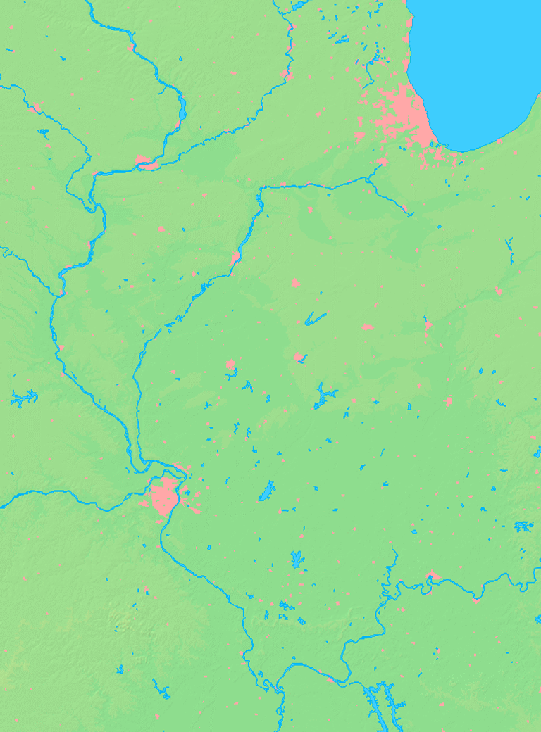
| Description | Background map of the Illinois State, USA, ready for the Geobox template, calibrated at en:Template:Geobox locator Illinois2 |
| Date | |
| Source | Made my myself from free maps available at www.demis.nl |
| Author | Caroig |
Licensing
This image is in the public domain because it came from the site https://www.demis.nl/products/web-map-server/examples/ and was released by the copyright holder. Permission is granted to copy, distribute and/or modify this map since it is based on free of copyright images from: www.demis.nl. See also approval email on de.wp and its clarification.
|
| This work has been released into the public domain by its copyright holder, www.demis.nl. This applies worldwide. In some countries this may not be legally possible; if so: www.demis.nl grants anyone the right to use this work for any purpose, without any conditions, unless such conditions are required by law.
|
File history
Click on a date/time to view the file as it appeared at that time.
| Date/Time | Dimensions | User | Comment | |
|---|---|---|---|---|
| current | 16:54, 10 November 2007 | 768 × 1,040 (811 KB) | Caroig | == Summary == {{Information |Description=Background map of the Illinois State, USA, ready for the Geobox template, calibrated at en:Template:Geobox locator Illinois2 |Source=Made my myself from free maps available at www.demis |
File usage
There are no pages that use this file.